Map › Themes › Walks
Walks in the Aosta Valley
32 places
Open the map
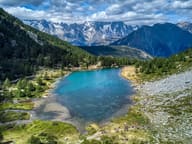 Lago d'ArpyMorgex · 2,066 mWalking round the lake you can see the Grandes Jorasses reflected in the water
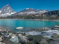 Lago GoilletValtournenche · 2,516 mThe Matterhorn is reflected in a 12-million-cubic-metre reservoir at 2,516 m
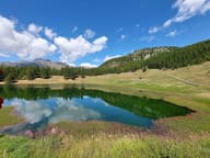 Lago LodChamois · 2,019 mAt 2,019 m above Chamois, the car-free municipality: by chairlift or in 35 minutes on foot
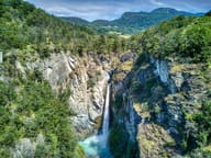 Cascata di IsollazChalland-Saint-Victor · 567 mThe Évançon drops almost 50 metres between two rock walls
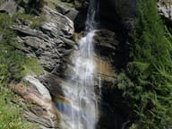 Cascate di LillazCogne · 1,679 mThree drops of the Urtier, about 150 m in all; you can also reach the first by wheelchair
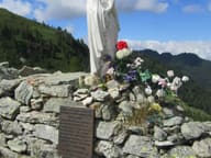 Colle RanzolaGressoney-Saint-Jean · 2,171 mA plaque to Tolstoy, who came this way in 1857, and a dry-stone wall from 1800 against Napoleon
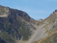 Colle ValdobbiaGressoney-Saint-Jean · 2,480 mOn the pass, the Ospizio Sottile, opened in 1823 for emigrants from Valsesia passing through
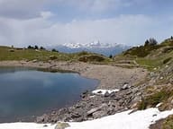 Lago di ChamoléCharvensod · 2,329 mA quarter of an hour on foot from the Chamolé chairlift, with a view of Mont Blanc
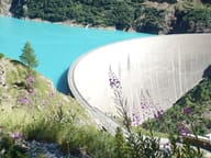 Lago di Place MoulinBionaz · 1,968 mYou reach the 155 m high arch-gravity dam that closes off an artificial lake 4 km long
- MascognazAyas · 1,822 mWalser village recorded since 1323, with rascards and the chapel of San Grato; waterfall below
 Pramotton TowerDonnas · 553 mHexagonal medieval tower with its entrance door four metres off the ground
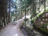 Ru CourtaudAyas · 1,970 m25 km channel dug between 1393 and 1433 to bring water from the Ventina to Saint-Vincent
- Ru du MontDoues · 1,464 mRu from 1400, rebuilt in 1949 with a tunnel of about 750 m cut into the rock
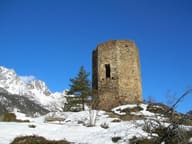 TornallaOyace · 1,470 mMedieval tower with an octagonal plan, the only one in the Aosta Valley, recorded as early as 1197
- Cascata di NielGaby · 1,250 mA 28 m vertical drop of the Niel stream, visible from the village of Gaby
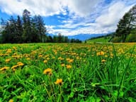 Col de JouxSaint-Vincent · 1,640 mIn the woods at the pass flows the Ru Courtaud, an irrigation channel granted in 1393
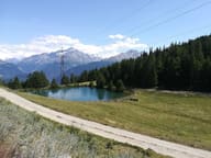 Lago di JouxSaint-Nicolas · 1,902 mA small lake in a pine wood at 1,902 m, with a little chapel in a nearby clearing
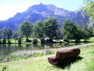 Lago di LozValtournenche · 1,700 mSmall lake at 1,700 m with benches and picnic tables, 40 minutes' walk from the village
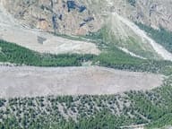 Lago Verde (Jardin du Miage)Courmayeur · 1,827 mLake in the Jardin du Miage woodland, enclosed between the two terminal tongues of the glacier
- Ru BourgeoisGignod · 973 mFourteenth-century channel that crosses the Aosta hillside, lower down than the Ru Neuf
- Ru CrépinValtournenche · 1,813 mPath along the ru to the Gouffre des Busserailles, a gorge 104 m long and 35 m deep
- Ru de CharbonnièreAvise · 1,519 mRu that takes its water from the Vertosan stream; view of Emilius, Becca di Nona and Grivola
- Ru de la PlaineChâtillon · 658 mIrrigation channel of 1325 bringing Valtournenche water to Châtillon and Saint-Vincent
- Ru de MenouveÉtroubles · 1,808 mRu piped under a level dirt track as far as Alpe Ponteille, facing Mont Fallère
- Ru des NovallesChamois · 2,050 mIrrigation channel still in use, running level from Lago di Lod to Alpe Les Foressus
- Ru HerbalChalland-Saint-Anselme · 1,045 mChannel from 1393, about 12 km long, carrying water as far as the hills of Verrès
- Ru MarseillerSaint-Denis · 860 mFifteenth-century channel carrying water from the Matterhorn valley to Verrayes and Saint-Denis
- Ru NeufGignod · 1,270 mMedieval channel carrying the water of the Artanavaz from Étroubles to the Aosta hillside
- Ru PompillardSaint-Christophe · 848 mChannel from 1409 carrying the water of the Buthier from Valpelline to the hills of Quart
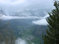 Testa d'ArpyMorgex · 2,015 mFrom the viewpoint at 2,015 m you can see Mont Blanc and Courmayeur, 20 minutes from the pass
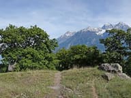 Tsatelet Nature ReserveAosta · 796 mOn the summit, a late Neolithic settlement from around 3000 BC and its necropolis
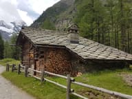 VermianaCogne · 1,745 mVillage of fewer than ten houses on the floor of the Valnontey, among ibex and chamois
 The Aosta Trip
