 The Aosta Trip
Ru Crépin
Rû Crépin
Path along the ru to the Gouffre des Busserailles, a gorge 104 m long and 35 m deep
The path follows the ru with gentle ups and downs, through wetlands and oddly shaped larches. From Crépin you climb to Tomaley and then reach the Gouffre des Busserailles, the gorge carved by the Marmore stream. A large panel lists the other 66 ru of Valtournenche.

Trails
- from N.D. (1,699 m) · ↑ 114 m · 52 min out, 43 min back · 3 km · E Walk · path 7/A
Trails: data provided by the Struttura Forestazione e Sentieristica of the Aosta Valley Autonomous Region.
History
Today the water runs in pipes resting on the stone pillars that once carried the wooden channels. In 2014 the ru was restored at a cost of almost €240,000. Taken together, the 67 ru of Valtournenche distributed about 4.5 cubic metres of water per second.
Nearby
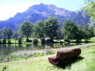 Lago di LozSmall lake at 1,700 m with benches and picnic tables, 40 minutes' walk from the village
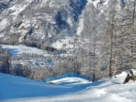 ValtournencheFrom the Cime Bianche pass the runs link to Breuil-Cervinia and Zermatt
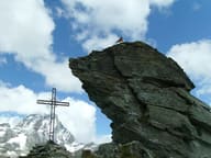 Bec del Pio MerloBelow the summit runs the Tracciolino, the service railway of the Goillet dam
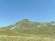 Western Motta di PlétéOn the summit Big Bench No. 168, since 2021 the highest giant bench in the world
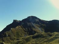 Mont PancherotBelow the summit, Lake Cignana; at the end of the valley, the south side of the Matterhorn
- Champlève Cross-Country TrailsAt Champlève the ‘Colombé’ variant has 500 m of hard climbing and as much technical descent