 The Aosta Trip
Ru Pompillard
Channel from 1409 carrying the water of the Buthier from Valpelline to the hills of Quart
The ru, now entirely piped, runs level across the Saint-Christophe hillside with a dirt road above the pipes. From the route you can see the Aosta plain, the Grand Combin, the Becca di Nona, Mont Emilius and the Grivola. In early spring the pasque flowers bloom.

Trails
- from Confine comunale Aosta (868 m) · ↑ 36 m · 1 h 14 min out, 1 h 11 min back · 4.6 km · T Walk · path 8 · April–October
Trails: data provided by the Struttura Forestazione e Sentieristica of the Aosta Valley Autonomous Region.
History
The channel was built in 1409 to carry the waters of the Buthier from Valpelline to the arid slopes of Quart, Saint-Christophe and Roisan. Modern works have erased almost all the medieval traces, except for a few sections cut into the rock.
Nearby
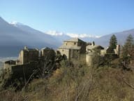 Quart CastleClosed for restoration: work is nearing completion, then the museum fit-out
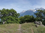 Tsatelet Nature ReserveOn the summit, a late Neolithic settlement from around 3000 BC and its necropolis
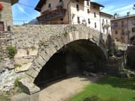 Aosta Roman BridgeIts single arch, 17 metres wide, now spans a dry bed
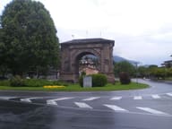 Honorary Arch of AugustusSingle archway 11.40 metres high, now in the middle of a roundabout
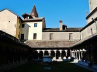 Sant'Orso Collegiate ChurchA capital in the cloister is dated 1133: the canons' communal life began here
 San Lorenzo Early Christian Church Archaeological AreaFifth-century Latin-cross basilica, a few metres below the floor of the present church