 The Aosta Trip
Lago di Place Moulin
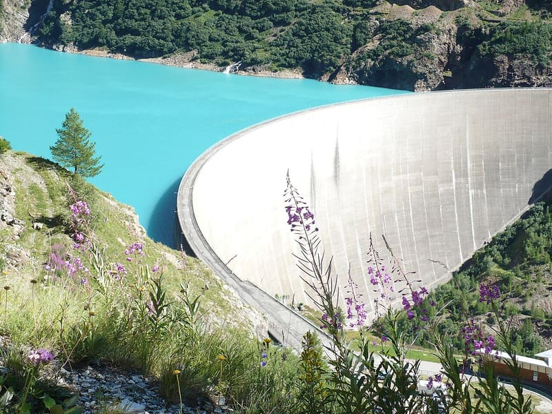
You reach the 155 m high arch-gravity dam that closes off an artificial lake 4 km long
The panoramic traverse (EE) starts from Rû and passes through the alpine pastures of Primo, Berrier, La Tsa and Grand Chamin, with an equipped section after the Pas des Feuilles. You come down to the road just below the dam. The crest of the dam, 678 m long, can be followed on foot and looks over the drop towards the valley on one side and the lake on the other.

Trails
- from Place Moulin (2,011 m) · ↑ 34 m · 1 h 13 min out, 1 h 10 min back · 4.6 km · T Walk · path 9 - 10 · June–September
- from Ru (1,694 m) · ↑ 535 m · 3 h 50 min out, 4 h 4 min back · 11 km · EE Expert · path 3 · June–September
Trails: data provided by the Struttura Forestazione e Sentieristica of the Aosta Valley Autonomous Region.
History
The lake is an artificial reservoir on the Buthier stream, among the largest in the Aosta Valley along with the Beauregard reservoir. The arch-gravity dam is 155 m high and holds up to 105 million cubic metres of water.
Nearby
 Rifugio PrarayerAt the far end of the Place Moulin lake: 5 km of almost flat road, you can also take a pushchair
- Lago MortoLast of four lakes in a row above Place Moulin, sometimes still frozen in August
 Colle di ValcorneraPass on the Tour del Cervino between the Place Moulin lake and the Perucca-Vuillermoz hut
- Bivacco Chentre-BionazBivouac hut from 2010 with the rose and the ceramics by Dutch sculptor Arjen Bakermans
 Rifugio Perucca VuillermozBy the Dragone lake, dedicated to two mountaineers who died on the Lyskamm in 1985
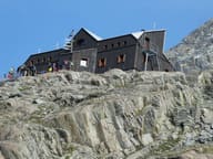 Rifugio Alessandro Nacamuli al Col CollonRebuilt in 1994 for Alessandro Nacamuli, who died in 1986 on an expedition in Pakistan