 The Aosta Trip
Ru de Charbonnière
Ru that takes its water from the Vertosan stream; view of Emilius, Becca di Nona and Grivola
The path follows the bank of the ru from Charbonnière to Vedun, for about 3.4 km, mostly through woodland. You can see the mountains of the main valley: Monte Emilius, Becca di Nona and Grivola. One section coincides with the Cammino Balteo.

Trails
- from Charbonnière (1,271 m) · ↑ 260 m · 1 h 10 min out, 52 min back · 3.3 km · E Walk · path 18C - 18E · May–October
Trails: data provided by the Struttura Forestazione e Sentieristica of the Aosta Valley Autonomous Region.
History
The ru starts from the Vertosan stream near the village of Vedun and carries water to the cultivated land on the Avise hillside. Charbonnière, the starting village at 1,270 m, takes its name from charcoal making; there is a chapel dedicated to St Lawrence. The slope is very sunny: the municipality recommends the ru in autumn, for the colours of the larches.
Nearby
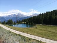 Lago di JouxA small lake in a pine wood at 1,902 m, with a little chapel in a nearby clearing
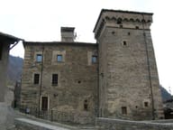 Avise CastleThe corbel room has fourteen carved wooden corbels
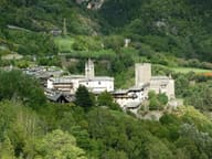 AviseThe castle, the Maison de Blonay and the Cré fortified house: three homes of the lords of Avise
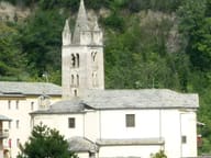 Parish Museum of Sacred ArtWooden statues and gold work from the fifteenth to the nineteenth century in the church of San Brizio
- Saint-Nicolas Cross-Country TrailsAt Fossaz a 2.5 km loop is floodlit and you can ski in the evening too
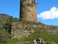 Montmayeur CastleThe cylindrical tower of 1271 still keeps its swallowtail merlons