 The Aosta Trip
Testa d'Arpy
Tête d'Arpy
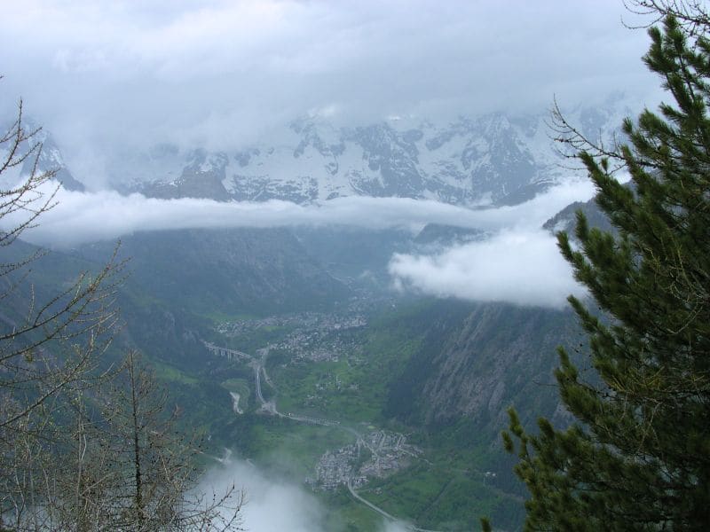
From the viewpoint at 2,015 m you can see Mont Blanc and Courmayeur, 20 minutes from the pass
The Testa d'Arpy is the wooded knoll above the Colle San Carlo; the viewpoint on its edge, at 2,015 m, looks out over the Valdigne: below, the Courmayeur basin with the motorway viaducts, opposite, the Mont Blanc range. Around it remain the works of the Colle San Carlo military battery: tunnels, walls and a ruined barracks beside the dirt access road.

Visiting
ACCESS: by car on regional road 39 of the Colle San Carlo, 10.5 km from Morgex (you can also get there from La Thuile); you park in the car park at the pass in front of the Genzianella restaurant. From 25 July to 23 August 2026 there is the free Morgex - Arpy - Colle San Carlo - La Thuile shuttle bus, 5 runs a day in each direction (to the pass from Morgex 8:20, 10:20, 12:20, 15:50, 17:50; from La Thuile 9:30, 11:30, 15:00, 17:00, 19:00), booking recommended on 329 2103008 between 13:45 and 14:15 the day before. No official winter closure found: in January 2018 the road was passable with snow tyres and chains, and in winter the walk is offered on the snow with snowshoes. ROUTE: behind the Genzianella restaurant you enter the larch wood on a dirt track (15A in the trail register); at a fork, the viewpoint is to the left, and to the right, a few minutes away, the summit. 15–25 minutes each way according to the sources, 23 according to the register, 70–75 m of height gain, difficulty T (2026 data).
Trails
- from Col Saint-Charles (1,858 m) · ↑ 71 m · 23 min out, 18 min back · 1.2 km · T Walk · path 15A · June–October
Trails: data provided by the Struttura Forestazione e Sentieristica of the Aosta Valley Autonomous Region.
History
The Colle San Carlo fortifications were begun in the mid-1930s to stop an attack from the Little St Bernard Pass; the Belvedere d'Arpy battery, of which the plan drawn up by the Army Engineers before 1939 survives, was part of them. They were destroyed or abandoned at the end of the Second World War; today you can visit their remains. The pass is also a famous cycling climb: 10.5 km from Morgex with about 1,000 m of height gain and sections of up to 13%, climbed by the Giro d'Italia in 1962, 1970, 1973, 2006 and 2019.
Nearby
- Arpy Cross-Country TrailsThe ‘Franco Revel’ trail at Arpy is FISI-homologated for national races until 2028
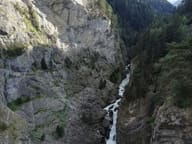 Pré-Saint-Didier Gorge, Panoramic WalkwayA walkway 160 m above the gorge cut by the Dora di Verney
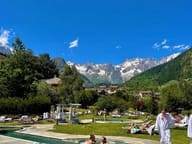 QC Terme Pré-Saint-DidierHot open-air thermal pools facing Mont Blanc, in the 1834 spa building
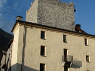 Tour de l'ArchetWalls 2.60 metres thick: the tower, 9 metres a side, now houses a comics library
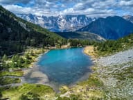 Lago d'ArpyWalking round the lake you can see the Grandes Jorasses reflected in the water
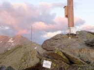 Becca PouegnentaChoristers' Cross brought by helicopter in 2002, rebuilt in 2024 after a lightning strike