 The Aosta Trip
Ru Bourgeois
Fourteenth-century channel that crosses the Aosta hillside, lower down than the Ru Neuf
The path follows the channel on the level between Gignod and Cré, at around 975 m, through meadows and hamlets; a shorter section runs from Chez-Percher to Cau. The ru starts below La Clusaz di Gignod and runs down to Vignole, above Aosta, about 200 m lower than the Ru Neuf.

Visiting
From Gignod to Cré, 2.7 km and 50 minutes, almost level, from April to October; short section from Chez-Percher to Cau, 900 m and a quarter of an hour. Path 2C.
Trails
- from Gignod (975 m) · ↑ 87 m · 49 min out, 43 min back · 2.7 km · E Walk · path 2C · April–October
- from Chez-Percher (1,001 m) · ↑ 39 m · 15 min out, 12 min back · 0.9 km · E Walk · path 2C
Trails: data provided by the Struttura Forestazione e Sentieristica of the Aosta Valley Autonomous Region.
History
The channel was dug by the people of Gignod and the surrounding area and recognised by letters patent in 1327; after the damage of 1346 it was paved, and in 1455 it was given maintenance rules entrusted to four rectors. It still crosses the whole Aosta hillside.
Nearby
- Ru NeufMedieval channel carrying the water of the Artanavaz from Étroubles to the Aosta hillside
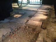 Consolata Roman VillaDiscovered by chance in 1971 during the construction of a building
- Rifugio ChaligneAn old stone and wood alpine-pasture chalet, which became a hut on 21 June 2006
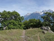 Tsatelet Nature ReserveOn the summit, a late Neolithic settlement from around 3000 BC and its necropolis
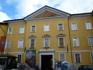 MAR - Regional Archaeological MuseumIn the basement lie the remains of the Roman Principalis Sinistra gate
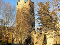 Tour NeuveCrenellated cylindrical tower at the north-west corner, of the De Turre Nova lords