 The Aosta Trip
Ru des Novalles
Irrigation channel still in use, running level from Lago di Lod to Alpe Les Foressus
The ru runs across the hillside above Chamois and shows it from above. You can also go up to Lago di Lod by chairlift. Along the route there are panels on the history and nature of the place; you can make it a loop.

Trails
- from LOU (2,018 m) · ↑ 36 m · 30 min out, 30 min back · 1.8 km · T Walk · path 6
Trails: data provided by the Struttura Forestazione e Sentieristica of the Aosta Valley Autonomous Region.
Nearby
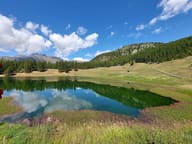 Lago LodAt 2,019 m above Chamois, the car-free municipality: by chairlift or in 35 minutes on foot
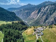 ChamoisThe only municipality in Italy with no road for cars: since 1955 you go up by cable car
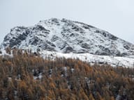 Mont TantanéBelow the summit, the walls of an Iron Age village of the Salassi at 2,440 m
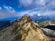 Becca TrécareThe name means ‘of the three boundaries’: Ayas, Chamois and Valtournenche meet here
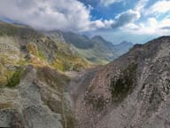 Col de NannazFrom Chamois you climb along the Cleyva Bella doline, the largest in the Aosta Valley
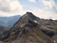 Becca di NanaAlpini cross for the 18 killed on the Gavia in 1954: Mass at the summit every 14 August