 The Aosta Trip
Cascata di Isollaz
Cascade d'Isollaz
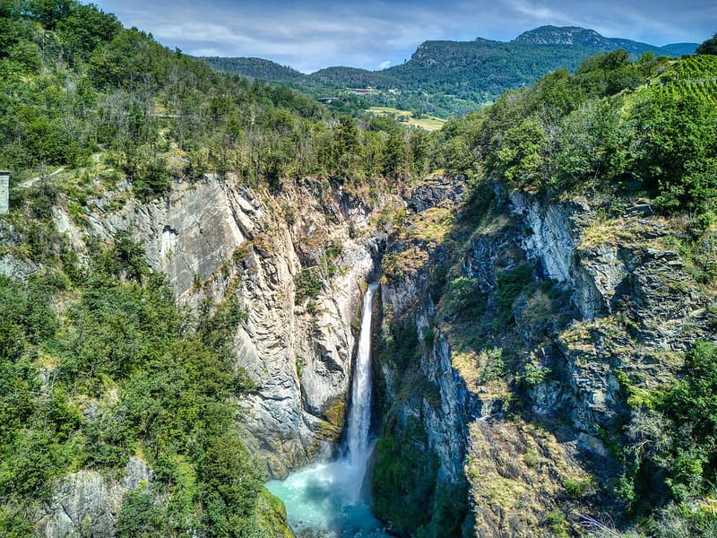
The Évançon drops almost 50 metres between two rock walls
The path goes down to the bottom of a gorge and the last stretch runs alongside the stream, with a fence and two benches. The Évançon, which rises from the Verra and Cortaud streams fed by the Monte Rosa glaciers, falls between high rock walls in a drop of about 50 metres.

Trails
- from Strada regionale (602 m) · ↑ 48 m · 22 min out, 19 min back · 1.3 km · E Walk · path 3 · May, June, July, August, September
Trails: data provided by the Struttura Forestazione e Sentieristica of the Aosta Valley Autonomous Region.
History
To the left of the falling water, just before the waterfall, you can see one of the entrances to the old Sache mines, now closed and not accessible.
Nearby
 Lago di VillaThe only lake in the Aosta Valley with the white water lily, in flower in June and July
 Verrès CastleIn 1536 Renato di Challant strengthened the walls to withstand firearms
- Ru HerbalChannel from 1393, about 12 km long, carrying water as far as the hills of Verrès
 Issogne CastleIn the courtyard, the wrought-iron pomegranate fountain, a symbol of prosperity
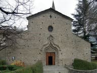 ArnadSan Martino, with three aisles, is the most important example of Romanesque in the Aosta Valley
- Col TzecorePlateau among larches with a picnic area and views of Mont Blanc and Monte Zerbion