 The Aosta Trip
Ru Herbal
Channel from 1393, about 12 km long, carrying water as far as the hills of Verrès
From Pésan a road, first tarmac and then dirt, follows the channel, partly covered by concrete slabs, between stone walls and railings, as far as an area of meadow. The route is almost flat, suitable for pushchairs and mountain bikes too. A little higher up, the Ru d'Arlaz runs parallel.

Trails
- from Paysan (1,086 m) · ↑ 44 m · 23 min out, 20 min back · 1.3 km · E Walk · path 2 - 29 · June, July, August, September
Trails: data provided by the Struttura Forestazione e Sentieristica of the Aosta Valley Autonomous Region.
History
It is the most important ru of the lower Val d'Ayas and irrigates the meadows of Challand-Saint-Anselme, Challand-Saint-Victor, Verrès and Montjovet. The work was promoted by the convent of Saint-Gilles in Verrès, which had the right to the water every Monday; as late as 1951 the abbot was protesting because the owners upstream were taking too much of it.
Nearby
- Col TzecorePlateau among larches with a picnic area and views of Mont Blanc and Monte Zerbion
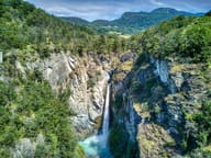 Cascata di IsollazThe Évançon drops almost 50 metres between two rock walls
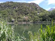 Lago di VillaThe only lake in the Aosta Valley with the white water lily, in flower in June and July
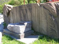 Roman Road to Gaul at MontjovetWheel ruts cut into the rock, on a carriageway more than 4.5 metres wide
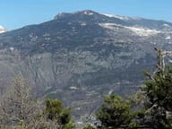 Testa di ComagnaStone cross on the summit, with a view of Mont Néry, Mont Avic and Mont Blanc
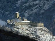 Graines CastleBeside the walls, the Romanesque church of San Martino with herringbone walls