 The Aosta Trip
Lago Goillet
Lac Goillet
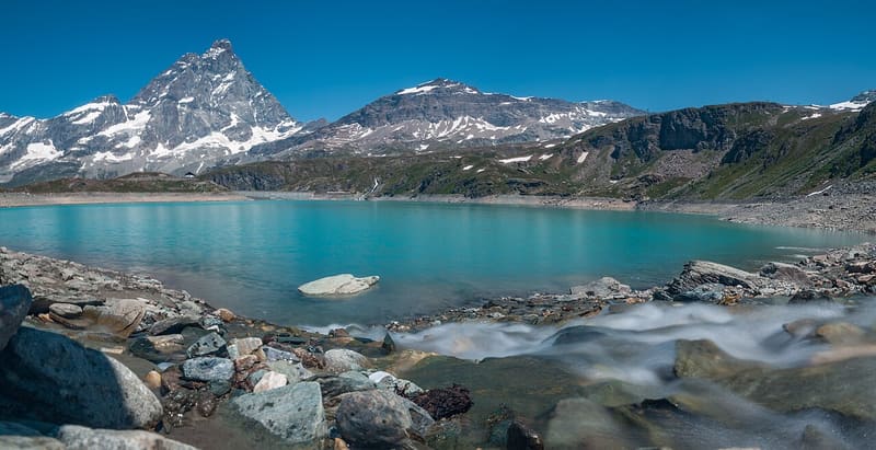
The Matterhorn is reflected in a 12-million-cubic-metre reservoir at 2,516 m
From the Plan Maison station you can see the lake and the dam straight away on the right. The water is turquoise and on clear mornings reflects the Matterhorn, which stands directly opposite. On the dam wall you come across ibex almost every day; along the path the marmots whistle. At the lake there are no bars or huts.

Visiting
Lifts: Breuil-Cervinia - Plan Maison gondola, summer 2026 from 4 May to 6 September, from 8:00 to 16:30, last descent from Plan Maison at 16:30; from 10 August to 6 September the cable car runs on the same route. Adults €13 up, €20 return (2026). From Plan Maison (2,543 m): from the station go up to the right along the service road to the bar and the start of the chairlift, then path 65 to a rocky knoll above the Barmaz stream and down to the lake; 1.2 km, 60 m of height gain, 35 minutes, difficulty E, from July to September. On foot from Breuil-Cervinia: from the cable car square (1,992 m) along the farm track and path 16, with the rails of the old dam railway, to the Alpe Chavanon (2,226 m) and the lake; 520 m of height gain, 1 h 30 to 1 h 45 uphill, 45 minutes to 1 hour downhill. A waymarked path goes down to the foot of the dam and climbs back up the other side towards Plan Maison.
Trails
- from Plan Maison (2,543 m) · ↑ 60 m · 41 min out, 29 min back · 1.8 km · E Walk · path 36 · July–August
Trails: data provided by the Struttura Forestazione e Sentieristica of the Aosta Valley Autonomous Region.
History
The Goillet is an artificial lake in the Barmaz valley, above Breuil-Cervinia. The dam was built between 1939 and 1948 to regulate the hydroelectric plant: it is 48.60 m high, 368 m long and holds back 12 million cubic metres of water. Materials were brought up from Les Perrères on a narrow-gauge railway, whose rails remain along the path.
Nearby
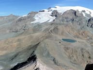 Colle Superiore delle Cime BianchePass on the Tour del Monte Rosa, above Gran Lago delle Cime Bianche (2,805 m)
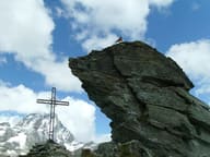 Bec del Pio MerloBelow the summit runs the Tracciolino, the service railway of the Goillet dam
 Western Motta di PlétéOn the summit Big Bench No. 168, since 2021 the highest giant bench in the world
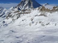 Breuil-Cervinia, Cervino Ski ParadiseThe Ventina run: 11 km from Plateau Rosà at 3,480 m to the village at 2,050 m
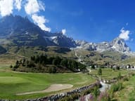 Breuil-Cervinia Cross-Country TrailThe Breuil-Cervinia loop runs over the golf fairways, with the Matterhorn behind it
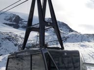 Plateau RosàThree cable cars from Breuil-Cervinia to 3,480 m on the Swiss border, below the Matterhorn