 The Aosta Trip
Tornalla
Tour d'Oyace
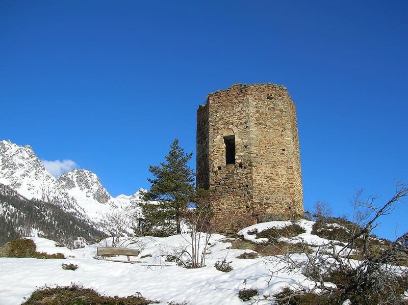
Medieval tower with an octagonal plan, the only one in the Aosta Valley, recorded as early as 1197
The tower, 11.7 m high, stands on a rocky promontory above Oyace and the Betenda gorge carved by the Buthier. From the path you can see the peaks of the upper Valpelline. On a loop you also cross the Betenda bridge, from 1688, over the gorge.

Trails
- from Cretaz (1,363 m) · ↑ 107 m · 23 min out, 16 min back · 1 km · E Walk · path 3 · May–October
Trails: data provided by the Struttura Forestazione e Sentieristica of the Aosta Valley Autonomous Region.
History
The first document that mentions it dates from 1197. Between 1253 and 1287 Oyace passed to the lords of Porta di Sant'Orso, already lords of Quart. According to a legend it was built by a group of Saracens who had taken refuge in the Valpelline around the year 1000. Its outline is on the municipal gonfalon.
Nearby
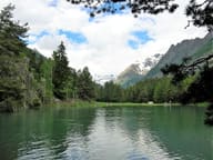 Lago di LexertLake at 1,555 m with a picnic area and an accessible 400 m circuit along the shores
- Bionaz Cross-Country TrailsThe Dzovennoz biathlon range has 30 electronic targets, for shooting from 10 to 50 m
- Verdonaz Chapel1942 chapel at 2,317 m, the destination every 5 August of the feast of Our Lady of the Snows
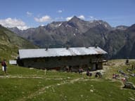 Rifugio Crête SècheNext to the Berio del Governo, a boulder where there was a guard post in the late eighteenth century
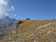 Bivacco Regondi-GavazziA 16-place wooden bivouac hut above Lago Leitou, facing Mont Gelé
- Alpe ChardonneyWooden bivouac hut taken up by helicopter, opened on 26 July 2025