 The Aosta Trip
Cascata di Niel
A 28 m vertical drop of the Niel stream, visible from the village of Gaby
The path runs above the gorge cut by the Niel stream and reaches a viewpoint at about 1,250 m. Just below, you go down among the boulders to the pools at the foot of the waterfall. The Niel is the largest tributary of the Lys within the municipality of Gaby.

Trails
- from Start 7B (1,130 m) · ↑ 80 m · 15 min out, 10 min back · 0.6 km · E Walk · path 7B · June, July, August, September
Trails: data provided by the Struttura Forestazione e Sentieristica of the Aosta Valley Autonomous Region.
Nearby
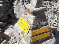 Colle della VecchiaIn the rock two women from the two valleys greet each other: ‘buon giorno, guten tag’ (1877)
 Colle della Mologna PiccolaPaved mule track built by the Biella section of the CAI and opened on 9 August 1880
 Colle LazoneyPass on stage 5 of the Alta Via 1, from Niel towards the Loo valley and Gressoney
 Colle della Mologna GrandeOn the Biellese side, 15–20 minutes below the pass, there is the Rivetti hut (2,150 m)
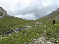 Colle del LooOn the way up you pass Obre Lòò, a Walser alpine pasture with the seventeenth-century chapel of San Lorenzo
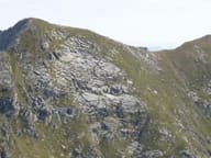 Punta Tre VescoviOn the summit the boundaries of the dioceses of Aosta, Biella and Novara meet