 The Aosta Trip
Col de Joux
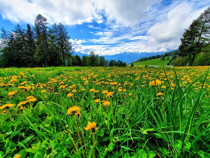
In the woods at the pass flows the Ru Courtaud, an irrigation channel granted in 1393
The pass is a plateau at 1,640 m among woods and clearings, between the Testa di Comagna and the Cima Botta, and you can also get there by car. From the pass you can see the whole main valley as far as the Rutor glaciers. In winter it has a small ski area; from here paths lead to the Testa di Comagna and the Gran Balconata del Cervino towards the Col Tzecore.

Trails
- from Col Tzecore (1,607 m) · ↑ 110 m · 1 h 17 min out, 1 h 10 min back · 4.4 km · T Walk · path 107 · May–October
- from Terme (618 m) · ↑ 977 m · 3 h 2 min out, 1 h 57 min back · 6 km · E Hike · path 6 · June, July, August, September, October
- from X 1 e 2 (611 m) · ↑ 1,028 m · 3 h 11 min out, 2 h 1 min back · 5.9 km · E Hike · path 1 - 2 · June, July, August, September, October
Trails: data provided by the Struttura Forestazione e Sentieristica of the Aosta Valley Autonomous Region.
History
In 1393 some landowners from the upper hamlets of Saint-Vincent obtained from Ibleto di Challant, for 24 gold florins and an annual tax, the right to use the water of the Monte Rosa glaciers. The Ru Courtaud still carries it today as far as the woods at the pass. The name Joux perhaps comes from a pre-Latin word meaning a wooded height, or from the Latin jugum, yoke. A legend has it that Napoleon stopped at the fountain just below the pass in May 1800.
Nearby
- Brusson Cross-Country TrailsBetween 1982 and 2001 the Vollon plateau hosted five World Cup races
 Testa di ComagnaStone cross on the summit, with a view of Mont Néry, Mont Avic and Mont Blanc
- Col TzecorePlateau among larches with a picnic area and views of Mont Blanc and Monte Zerbion
- Chamousira Gold MineTunnel dug into the Fenilliaz vein, worked from 1900 until the early 1980s
 Saint-Vincent Roman BridgeThe central arch collapsed on 8 June 1839: the left abutment and part of the right remain
 Saint-Vincent SpaWater from the Fons Salutis spring, discovered in 1770; outdoor pools at 36 °C