 The Aosta Trip
Ru Marseiller
Ru de Marseiller
Fifteenth-century channel carrying water from the Matterhorn valley to Verrayes and Saint-Denis
The path follows the channel on the sunny side above Chambave, with a view over the main valley and Cly Castle. You pass among arid rocks where Montpellier milk-vetch grows. The easy stretch ends at Plantery, above the ruins of Cly Castle.

Trails
- from Confine comunale (860 m) · ↑ 14 m · 25 min out, 24 min back · 1.5 km · E Walk · path 113 · June, July, August, September, October
Trails: data provided by the Struttura Forestazione e Sentieristica of the Aosta Valley Autonomous Region.
History
In 1421 the castellan of Cly authorised the construction of the channel, granting the waters of the right-hand side of the Valtournenche. The ru is about 15 km long, more than 8 of them in the Valtournenche, open only to staff. On a rock along the channel there are still Savoyard and ecclesiastical symbols, probably drawn in the seventeenth century.
Nearby
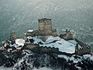 Cly CastleThe Romanesque chapel dedicated to St Maurice preserves frescoes that are now faded
- Saint-Évence ChapelChapel of medieval origin on a plateau above the Valtournenche, within sight of the Matterhorn
- Champlong Cross-Country TrailsOne variant passes a larch estimated to be 700 years old
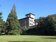 Gamba CastleIn the park, among 150 trees, grows a California giant sequoia
- Ru de la PlaineIrrigation channel of 1325 bringing Valtournenche water to Châtillon and Saint-Vincent
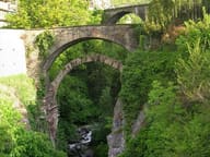 Châtillon Roman BridgeThe Roman abutments, with a 15-metre arch, still carry the bridge over the Marmore