 The Aosta Trip
Ru de Menouve
Ru piped under a level dirt track as far as Alpe Ponteille, facing Mont Fallère
The route follows the track that covers the ru, on the level, first through pastures below Mont Saron with a view of the Pointe de Chaligne, then through the woods of the Menouve valley. From Alpe Ponteille you look south to the Flassin and Comba d'Ars valleys and the north slope of Mont Fallère. A little further on is the intake of the ru on the Menouve stream.

Trails
- from Strada per Daillon (1,434 m) · ↑ 379 m · 2 h 41 min out, 2 h 15 min back · 8.6 km · E Hike · path 25B · May–October
Trails: data provided by the Struttura Forestazione e Sentieristica of the Aosta Valley Autonomous Region.
Nearby
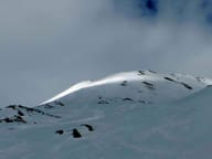 Monte PagliettaLarge stone cairn on a knoll above Saint-Oyen, facing Mont Vélan
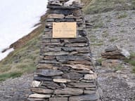 Col ChampillonPass on the Alta Via 1 and the Tor des Géants, with views from Mont Blanc to the Grand Combin
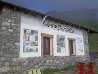 Rifugio Champillon Adolphe LeteyDedicated to Adolphe Letey, mayor of Doues from 1951 to 1990; an hour from the car
- Bivacco MollineA 16-place bivouac hut, open all year round, at the foot of Mont Vélan (3,710 m)
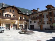 ÉtroublesSculptures and installations in the streets: an open-air museum since 2005, on the Via Francigena
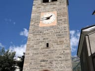 Parish Treasury MuseumFive display cases of goldsmiths' work from 1400 on, opened in 2011 in Santa Maria Assunta