 The Aosta Trip
Cascate di Lillaz
Cascades de Lillaz
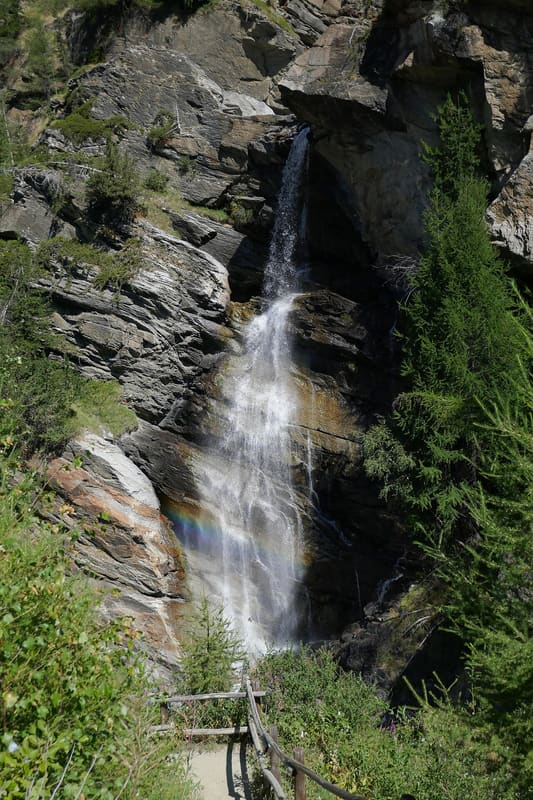
Three drops of the Urtier, about 150 m in all; you can also reach the first by wheelchair
The Urtier stream comes down in three main drops, about 150 m in all, and has carved deep hollows in the rock. From the wooden bridge you look down on the middle drop; from the grassy shelf at about 1,745 m you can see the third, with the large layered rocks. Going down along the road to Gollie you can see the glaciers of the Valeille valley.

Trails
- from Capoluogo (1,600 m) · ↑ 218 m · 1 h 19 min out, 1 h 3 min back · 4.1 km · T Walk · path 23 - TVC · May–October
Trails: data provided by the Struttura Forestazione e Sentieristica of the Aosta Valley Autonomous Region.
History
In the first stretch there is a geological park: large blocks of rock set out in a row explain the structure of the Cogne valley, with signs also in Braille. As far as the foot of the first drop the path is suitable for pushchairs and wheelchairs. In winter the waterfalls freeze and become an ice-climbing training ground.
Nearby
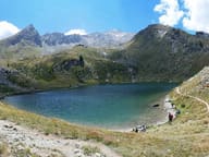 Lago di LoieLake above the Lillaz waterfalls, from which a view opens towards Mont Blanc
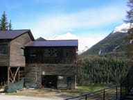 Exhibition Centre of the Aosta Valley Mining Park and the Cogne MineMagnetite and the life of the Colonna miners, in the rooms of the Miners' Village
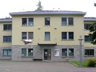 Gran Paradiso – Cogne Visitor CentreTaxidermy wolf and ibex and VR headsets in the Villaggio Minatori in Cogne
 CogneFrom the village a gondola climbs the wooded slopes of the Montseuc, among north-facing runs
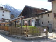 Maison de Cogne Gérard Dayné Ethnographic MuseumThe beu, the cowshed where people and animals lived together to keep warm
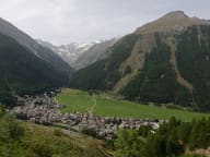 CogneThe main village looks onto the Sant'Orso meadow, at 1,544 m in the Gran Paradiso