Map › Themes › Expert hikes
Expert hikes in the Aosta Valley
26 places
Open the map
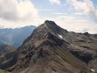 Becca di NanaAyas · 3,010 mAlpini cross for the 18 killed on the Gavia in 1954: Mass at the summit every 14 August
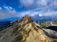 Becca TrécareAyas · 3,032 mThe name means ‘of the three boundaries’: Ayas, Chamois and Valtournenche meet here
- Bivacco Adolfo HessCourmayeur · 2,958 m1925 bivouac hut dedicated to Adolfo Hess, the engineer who devised fixed bivouac huts
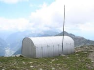 Bivacco Ulrich LateltinAyas · 3,132 mDreamt of in 1950 by the carpenter Ulrich Lateltin, built by his nephew in 1984
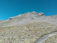 Corno BussolaBrusson · 3,023 mOn the summit, a metal cross almost 3 metres high, made of 24 cubic sections
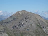 Mont GlacierChamporcher · 3,185 mThe highest peak in the Mont Avic Park: on clear days you can see Monviso
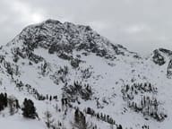 Mont MarsFontainemore · 2,600 mAt 2,600 m it is the highest summit in the Biellese, on the border with the Lys Valley
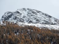 Mont TantanéChâtillon · 2,734 mBelow the summit, the walls of an Iron Age village of the Salassi at 2,440 m
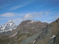 Monte RoisettaValtournenche · 3,324 mTwo peaks: the path reaches the south one (3,324 m), the north one is 10 m higher
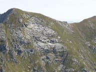 Punta Tre VescoviGaby · 2,503 mOn the summit the boundaries of the dioceses of Aosta, Biella and Novara meet
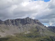 Becca d'AranValtournenche · 2,953 mCross at the top of the west face, 1,400 m above the village of Valtournenche
- Becca FranceSaint-Pierre · 2,312 mThe landslide of 6 July 1564 that destroyed Thora broke away from its east side
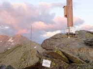 Becca PouegnentaLa Salle · 2,827 mChoristers' Cross brought by helicopter in 2002, rebuilt in 2024 after a lightning strike
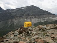 Bivacco Città di MarianoAyas · 2,830 mYellow bivouac hut of the CAI Mariano Comense section, base for climbing the Gobba di Rollin
- Bivacco Gianni CominoCourmayeur · 2,430 m1982 bivouac hut below Mont Greuvetta, overlooking the Triolet basin
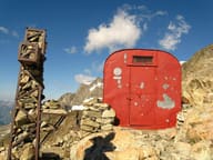 Bivacco Gino RainettoCourmayeur · 3,046 mFlown in by helicopter in 1963 for the Giovane Montagna's 50th anniversary, facing Mont Blanc
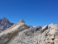 Cima BiancaTorgnon · 3,009 mOver 3,000 m on a waymarked path: summit cross and a view of the Matterhorn and Monte Rosa
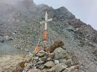 Colle di ValcorneraBionaz · 3,075 mPass on the Tour del Cervino between the Place Moulin lake and the Perucca-Vuillermoz hut
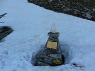 Colle PinterAyas · 2,777 mWalser pass between Ayas and Gressoney for grain and livestock; the Alta Via 1 crosses it
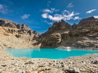 Gran Lago di TzèreAyas · 2,860 mTurquoise glacial lake, fed by waterfalls and often still frozen in early summer
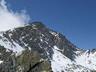 Mont CrabunArnad · 2,711 mCross with a wooden Christ; below the summit a bivouac hut in two parts, from 1989 and 1993
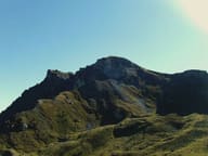 Mont PancherotValtournenche · 2,614 mBelow the summit, Lake Cignana; at the end of the valley, the south side of the Matterhorn
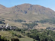 Monte FacciabellaAyas · 2,619 mFrom the summit ridge you can see Castore, Polluce, the Lyskamm and the Breithorn
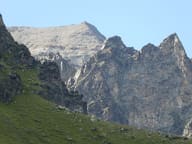 Punta BioulaValsavarenche · 3,414 mOn the summit a statue of the Madonna; Victor Emmanuel II's hunting road climbed to it
- Punta VallettaCharvensod · 3,090 mSummit cross at 3,090 m, at the top of the Panorama equipped path above Pila
- Saint-Évence ChapelAntey-Saint-André · 1,667 mChapel of medieval origin on a plateau above the Valtournenche, within sight of the Matterhorn
 The Aosta Trip
