 The Aosta Trip
Mont Tantané
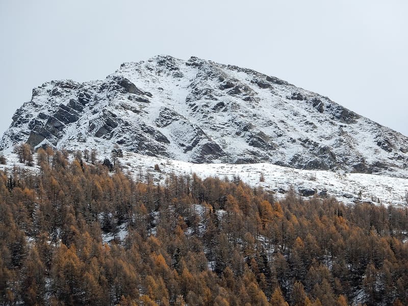
Below the summit, the walls of an Iron Age village of the Salassi at 2,440 m
The peak closes off to the south the ridge that comes down from the Grand Tournalin, on the watershed between Valtournenche and Val d'Ayas. From the cross you look over the two valleys and the Monte Rosa massif. Lower down, on the scree of the La Magdeleine side, the dry-stone walls of the huts emerge; from there you can see the Matterhorn and the Grandes Murailles.

Trails
- from Artaz (1,715 m) · ↑ 1,021 m · 3 h 13 min out, 1 h 56 min back · 4.7 km · EE Expert · path 4 · June, July, August, September
- from Promiod (1,473 m) · ↑ 1,246 m · 4 h 1 min out, 2 h 41 min back · 9.1 km · EE Expert · path 6 - 9 · June, July, August, September
Trails: data provided by the Struttura Forestazione e Sentieristica of the Aosta Valley Autonomous Region.
History
On the La Magdeleine side, at around 2,440 m, there are the remains of more than twenty Iron Age dry-stone huts, attributed to the Salassi and known locally as Le réparé du Tantané. The site was reported by Vincent Trèves, mayor of La Magdeleine, and excavated by the Superintendency from 2003. What such a high village was for is still debated: a refuge from the Romans, mining, herb gathering or a military base.
Nearby
 La Magdeleine MillsEight watermills in a chain along a stream, three of them grinding again
- Ru des NovallesIrrigation channel still in use, running level from Lago di Lod to Alpe Les Foressus
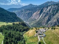 ChamoisThe only municipality in Italy with no road for cars: since 1955 you go up by cable car
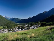 AntagnodIn the parish church of San Martino, a three-tiered Baroque altar consecrated in 1716
- AntagnodThe Vascotcha run is homologated for international downhill and super-G races
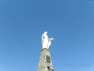 Monte ZerbionOn the summit a 7 m Madonna on an 8 m base, a vow made by the women of Saint-Vincent