 The Aosta Trip
Mont Glacier
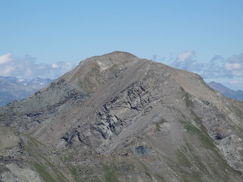
The highest peak in the Mont Avic Park: on clear days you can see Monviso
It is the highest point of the Champorcher valley and the Champdepraz valley. On the summit there is a wooden cross, with a summit book in a metal box. You can see Monte Rosa, the Matterhorn, the Grand Combin, Gran Paradiso and part of Mont Blanc; on the way up you pass above the Lac Gelé, below the Col Fussy.

Trails
- from Dondena (2,103 m) · ↑ 1,098 m · 3 h 35 min out, 2 h 23 min back · 7.8 km · EE Expert · path 8C - 5A · July, August, September
Trails: data provided by the Struttura Forestazione e Sentieristica of the Aosta Valley Autonomous Region.
History
The French name means ‘glacier mountain’. The Mont Avic Park also refers to it as Tête-de-Savoney.
Nearby
- Gran LagoSecond-largest natural lake in the Aosta Valley by area, below Mont Glacier
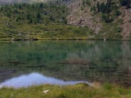 Lago MufféMont Avic lake with a refreshment point, an hour from the Cort car park
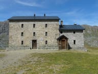 Rifugio MiserinStarted as a pilgrims' hospice, next to the sanctuary of the Madonna delle Nevi
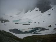 Lac GeléIn a stony north-facing basin, it stays frozen until late in the season
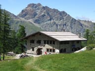 Rifugio BarbustelBuilt in 1994 on the ruins of an alpine pasture, above the Lago Bianco of Mont Avic
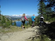 Colle del Lago BiancoGateway to the Mont Avic park, with views of the Matterhorn, Monte Rosa and Dent d'Hérens