 The Aosta Trip
Becca Trécare
Pointe Trécare
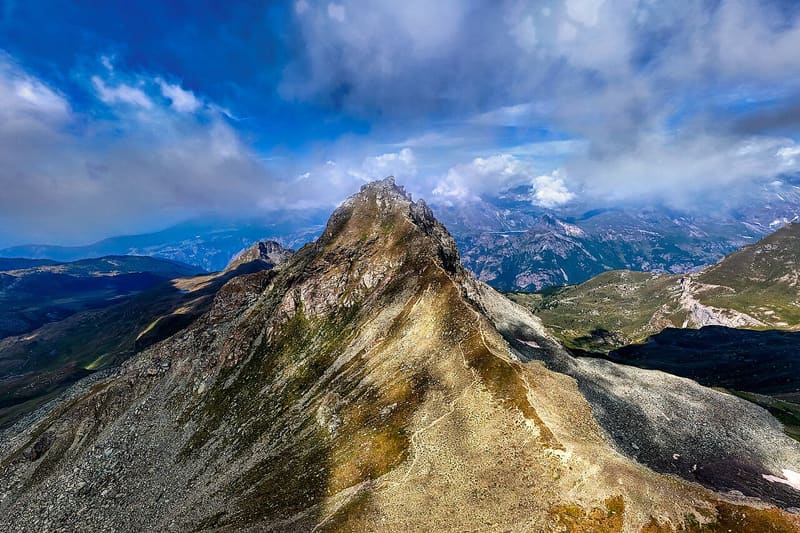
The name means ‘of the three boundaries’: Ayas, Chamois and Valtournenche meet here
Rocky pyramid between the Col de Nannaz and the Petit Tournalin, on the ridge between Ayas and Valtournenche. Three ridges and three valleys run down from the summit: Nana, Chamois and Cheneil. The north ridge towards the Petit Tournalin is called the Crête du Diable. From the summit, where the post of an old wooden cross remains, you can see Monte Rosa, the Matterhorn and almost the whole of the Val d'Ayas.

Trails
- from Amponey (1,550 m) · ↑ 1,488 m · 4 h 31 min out, 2 h 47 min back · 7.5 km · EE Expert · path 3 · June, July, August, September
Trails: data provided by the Struttura Forestazione e Sentieristica of the Aosta Valley Autonomous Region.
History
The first recorded ascent was on 10 September 1889, by Giovanni Battista and Giuseppe Origoni with the guides Giovanni Battista Carrel and Pietro Pession. Locally the peak is also called Punta Trois Quarts.
Nearby
 Col de NannazFrom Chamois you climb along the Cleyva Bella doline, the largest in the Aosta Valley
 Becca di NanaAlpini cross for the 18 killed on the Gavia in 1954: Mass at the summit every 14 August
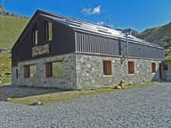 Rifugio Grand TournalinBuilt in 1994 by the Becquet family, a stage of the Tor des Géants since 2010
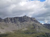 Becca d'AranCross at the top of the west face, 1,400 m above the village of Valtournenche
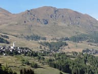 Monte FacciabellaFrom the summit ridge you can see Castore, Polluce, the Lyskamm and the Breithorn
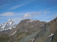 Monte RoisettaTwo peaks: the path reaches the south one (3,324 m), the north one is 10 m higher