 The Aosta Trip
Cima Bianca
Cime Blanche
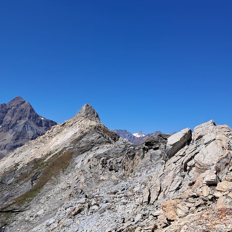
Over 3,000 m on a waymarked path: summit cross and a view of the Matterhorn and Monte Rosa
It is the highest peak of the range between the Fenêtre de Tsan and the main valley. On the summit there is a large cross; along the final ridge pale metamorphic limestone crops out. The panorama extends from the Becca di Luseney and the Grandes Murailles to the Matterhorn and Monte Rosa, with the Breithorns.

Trails
- from Servaz (1,999 m) · ↑ 1,016 m · 3 h 3 min out, 1 h 49 min back · 4.5 km · EE Expert · path 13 - 13B · June, July, August, September
- from Etirol (1,598 m) · ↑ 1,466 m · 4 h 58 min out, 3 h 14 min back · 9.9 km · EE Expert · path 7 - 1 - 3 · June, July, August, September
Trails: data provided by the Struttura Forestazione e Sentieristica of the Aosta Valley Autonomous Region.
History
Climbing from Torgnon you pass the ruins of the Hospice de Chavacour and the Alpe Château, built on the remains of a small fortified building that protected the hospice. Above the Alpe Erbion the path is largely paved and stepped, supported by dry-stone walls.
Nearby
- Bivacco Luca ReboulazA 1993 bivouac hut on the Luseney lake, at the foot of the Becca di Luseney (3,504 m)
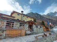 Rifugio MagiàBuilt by hand by a family from 2004 onwards, opened in January 2016
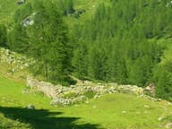 Alpe ChâteauAlpine pasture from 1780 beside the ruins of the Chavacour hospice, on the route to Valais
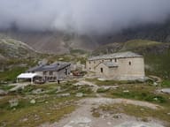 Rifugio Oratorio di CuneyThe highest hut on the Aosta Valley Alte Vie, next to a sanctuary from 1659
- Gilliarey Sanctuary1866 chapel on a rocky spur above Buisson, facing the Matterhorn
- Bivacco Chentre-BionazBivouac hut from 2010 with the rose and the ceramics by Dutch sculptor Arjen Bakermans