 The Aosta Trip
Becca d'Aran
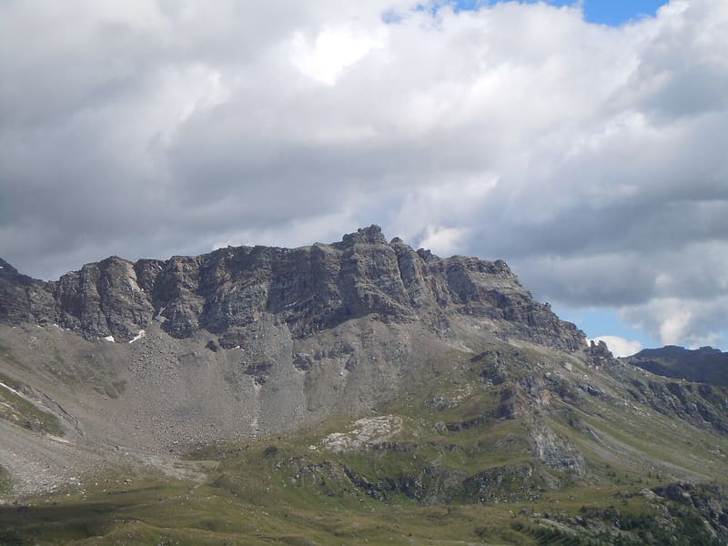
Cross at the top of the west face, 1,400 m above the village of Valtournenche
Seen from Valtournenche the mountain is a shield of rock; the east side, by contrast, is a steep meadow that drops towards the Cheneil basin. The path climbs the valley of the Cheney stream, past a waterfall, to the basin of the Pâturage de l'Aran and then along the south ridge. The last section is over small rock steps covered in debris, up to the large cross.

Trails
- from Paquier (1,526 m) · ↑ 1,422 m · 4 h 15 min out, 2 h 40 min back · 7.1 km · EE Expert · path 26 · July, August, September
Trails: data provided by the Struttura Forestazione e Sentieristica of the Aosta Valley Autonomous Region.
History
The path starts from La Barmaz. At Château a small cross commemorates Abbé Amé Gorret: according to tradition, Gorret and Edward Whymper, pioneers of mountaineering on the Matterhorn, used to stop there to rest.
Nearby
 Monte RoisettaTwo peaks: the path reaches the south one (3,324 m), the north one is 10 m higher
- Champlève Cross-Country TrailsAt Champlève the ‘Colombé’ variant has 500 m of hard climbing and as much technical descent
 Becca TrécareThe name means ‘of the three boundaries’: Ayas, Chamois and Valtournenche meet here
 Col de NannazFrom Chamois you climb along the Cleyva Bella doline, the largest in the Aosta Valley
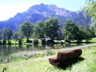 Lago di LozSmall lake at 1,700 m with benches and picnic tables, 40 minutes' walk from the village
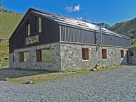 Rifugio Grand TournalinBuilt in 1994 by the Becquet family, a stage of the Tor des Géants since 2010