 The Aosta Trip
Mont Crabun
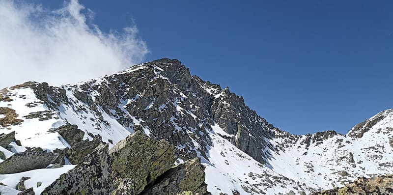
Cross with a wooden Christ; below the summit a bivouac hut in two parts, from 1989 and 1993
The peak stands on the boundary between Perloz, Issime and Arnad, on the spur between the Lys Valley and the Val d'Ayas. From the summit you can see the Becca Torché, the Becca di Vlou, Mont Néry, the Zerbion, the Testa di Comagna and, in the distance, the Matterhorn and the Breithorn. To the north the east ridge drops sheer to the Piccoli Laghi basin.

Trails
- from Bonavessy (658 m) · ↑ 2,062 m · 6 h 17 min out, 3 h 42 min back · 8.7 km · EE Expert · path 4F · May, June, July, August, September, October
Trails: data provided by the Struttura Forestazione e Sentieristica of the Aosta Valley Autonomous Region.
History
The Crabun bivouac hut, on the east ridge just below the summit, has two parts: the green sheet-metal structure from 1989, now without beds, and the wooden one added in 1993. At the base of the summit cross there is a niche with the summit logbook. The summit is also the finish of the Crabun Mountain Race, a mountain running race that starts from Pont-Saint-Martin.
Nearby
 Col FenêtreIn the meadows below the pass the rare wild peony flowers in early June
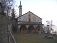 Machaby SanctuaryRebuilt in 1687, restored in 2021–2023; feast of Our Lady of the Snows on 5 August
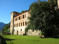 Vallaise CastleThe Hall of Honour preserves ten frescoed views of the former Vallaise fiefs
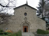 ArnadSan Martino, with three aisles, is the most important example of Romanesque in the Aosta Valley
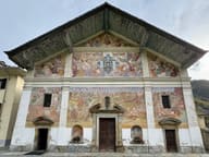 San Giacomo Church in IssimeThe Last Judgement on the façade, from 1698, is the largest in the Aosta Valley
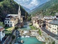 FontainemoreA stone bridge with a single 22-metre arch crosses the Lys to the church