 The Aosta Trip
Mont Mars
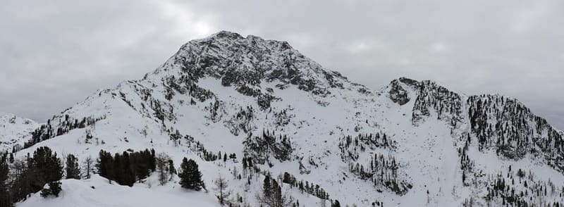
At 2,600 m it is the highest summit in the Biellese, on the border with the Lys Valley
The peak stands on the watershed between the Lys Valley and the Elvo valley. From the summit you can see the whole of Monte Rosa, the Roisetta-Tournalin group, the Matterhorn and the Gobba di Rollin, and to the south the Po Valley. The Aosta Valley side has small lakes and peat bogs arranged in steps.

Trails
- from Rifugio Coda (2,260 m) · ↑ 418 m · 1 h 17 min out, 45 min back · 1.6 km · EEA Equipped · path 3B · June, July, August, September
- from Plan Coummarial (1,462 m) · ↑ 1,151 m · 3 h 27 min out, 2 h back · 4.5 km · EE Expert · path 2D · June, July, August, September
Trails: data provided by the Struttura Forestazione e Sentieristica of the Aosta Valley Autonomous Region.
History
Since 1993 the Aosta Valley side has been protected by the Mont Mars Nature Reserve, about 390 hectares in the municipality of Fontainemore. Marmots, chamois, mountain hares, rock partridges and ptarmigan live in the reserve.
Nearby
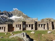 Rifugio BarmaA stone hut built around a rock, between the two Barma lakes
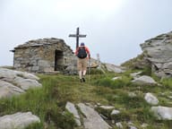 Colle della Barma d'OropaEvery five years the procession from Fontainemore to Oropa passes here at night
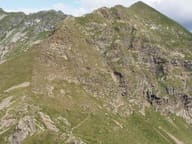 Colle della GragliascaAt the pass an engraving marks the 7,360 m of mule track climbed from Rosazza, in Valle Cervo
- Coumarial Cross-Country TrailsFacing south-east, the Coumarial trails get the sun until dusk
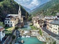 FontainemoreA stone bridge with a single 22-metre arch crosses the Lys to the church
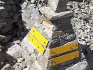 Colle della VecchiaIn the rock two women from the two valleys greet each other: ‘buon giorno, guten tag’ (1877)