 The Aosta Trip
Monte Facciabella
Mont Facebelle
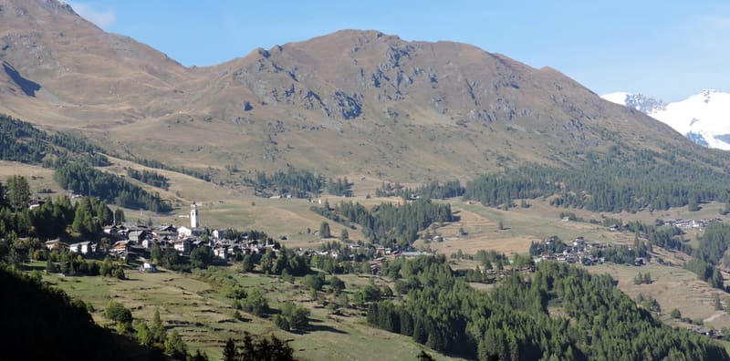
From the summit ridge you can see Castore, Polluce, the Lyskamm and the Breithorn
The summit is a cluster of small rocks at the top of the grassy ridge that rises eastwards from the Colle Vascoccia, with a cairn. In front of you Monte Rosa lines up, from the Breithorn and the Roccia Nera to Polluce, Castore and the Lyskamm. Behind are the Becca di Nana and the two Tournalin, to the south the Zerbion and, further away, Gran Paradiso, Grivola and Emilius.

Trails
- from Amponey (1,550 m) · ↑ 1,077 m · 3 h 16 min out, 2 h 1 min back · 5.7 km · EE Expert · path 3 - 3B · June, July, August, September
Trails: data provided by the Struttura Forestazione e Sentieristica of the Aosta Valley Autonomous Region.
History
Climbing from Mandriou you pass the Sarteur chapel, dedicated to Notre-Dame des Montagnards, with a metal cross in front of the entrance. The official name of the peak is the French one, Mont Facebelle; Monte Facciabella is the Italian form.
Nearby
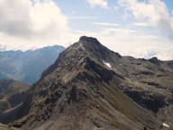 Becca di NanaAlpini cross for the 18 killed on the Gavia in 1954: Mass at the summit every 14 August
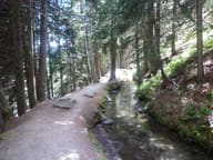 Ru Courtaud25 km channel dug between 1393 and 1433 to bring water from the Ventina to Saint-Vincent
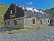 Rifugio Grand TournalinBuilt in 1994 by the Becquet family, a stage of the Tor des Géants since 2010
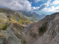 Col de NannazFrom Chamois you climb along the Cleyva Bella doline, the largest in the Aosta Valley
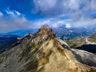 Becca TrécareThe name means ‘of the three boundaries’: Ayas, Chamois and Valtournenche meet here
- Monterosa Spa, ChampolucOutdoor pool with whirlpool jets facing Monte Rosa, in the former ice rink