 The Aosta Trip
Mont Pancherot
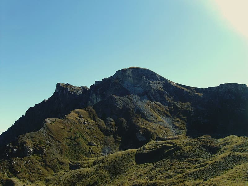
Below the summit, Lake Cignana; at the end of the valley, the south side of the Matterhorn
From the Finestra di Cignana (2,445 m) a grassy ridge leads to the top; before the summit there is an exposed section with fixed ropes and steps. On the summit there is a large cross and, a little below, a sheet-metal forestry bivouac hut closed to the public. You look down on Lake Cignana and its dam; to the north the Matterhorn closes off the valley, to the east you can see the glaciers of Monte Rosa.

Trails
- from Plan de la Glae (1,582 m) · ↑ 1,032 m · 3 h 5 min out, 1 h 55 min back · 4.8 km · EE Expert · path 7 · June, July, August, September
Trails: data provided by the Struttura Forestazione e Sentieristica of the Aosta Valley Autonomous Region.
History
The rocks of the Cignana dam, at the foot of the peak, are studied by geologists for coesite, a mineral that forms only at extremely high pressures. In August 2004 the descent from the lake to Crépin was the destination of an excursion of the 32nd International Geological Congress in Florence.
Nearby
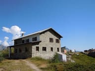 Rifugio Barmasse200 metres from the Cignana lake, the largest in the Valtournenche
 ValtournencheFrom the Cime Bianche pass the runs link to Breuil-Cervinia and Zermatt
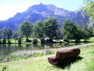 Lago di LozSmall lake at 1,700 m with benches and picnic tables, 40 minutes' walk from the village
- Ru CrépinPath along the ru to the Gouffre des Busserailles, a gorge 104 m long and 35 m deep
- Champlève Cross-Country TrailsAt Champlève the ‘Colombé’ variant has 500 m of hard climbing and as much technical descent
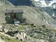 Rifugio Perucca VuillermozBy the Dragone lake, dedicated to two mountaineers who died on the Lyskamm in 1985