 The Aosta Trip
Monte Roisetta
Mont Roisettaz
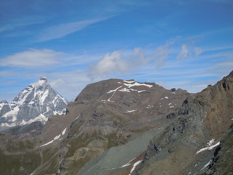
Two peaks: the path reaches the south one (3,324 m), the north one is 10 m higher
From the south peak, where the path arrives, you have the Matterhorn and the Monte Rosa group in front of you, with the Grand Tournalin to the south. The north peak (3,334 m) lies about 400 m further on, beyond a ridge of unstable rock. In the basin between the peaks a steep snowfield remains, what is left of a small glacier.

Trails
- from Parcheggio Cheneil (2,023 m) · ↑ 1,299 m · 3 h 50 min out, 2 h 15 min back · 4.9 km · EE Expert · path 29 · June, July, August, September
- from Saint-Jacques (1,700 m) · ↑ 1,579 m · 4 h 53 min out, 3 h 6 min back · 9.2 km · EE Expert · path 4 · July, August, September
Trails: data provided by the Struttura Forestazione e Sentieristica of the Aosta Valley Autonomous Region.
History
The first known ascent by the south-west ridge was made by Giovanni Bobba and Casimiro Thérisod, on 29 August 1901. Rock routes opened in 1946 (the Manenti route) and in 1953 (the Bich route) climb the west face.
Nearby
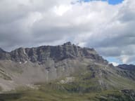 Becca d'AranCross at the top of the west face, 1,400 m above the village of Valtournenche
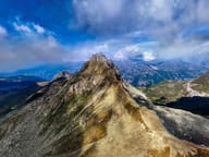 Becca TrécareThe name means ‘of the three boundaries’: Ayas, Chamois and Valtournenche meet here
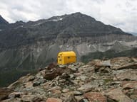 Bivacco Città di MarianoYellow bivouac hut of the CAI Mariano Comense section, base for climbing the Gobba di Rollin
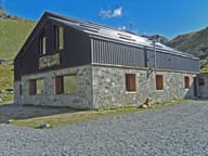 Rifugio Grand TournalinBuilt in 1994 by the Becquet family, a stage of the Tor des Géants since 2010
- Champlève Cross-Country TrailsAt Champlève the ‘Colombé’ variant has 500 m of hard climbing and as much technical descent
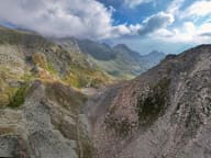 Col de NannazFrom Chamois you climb along the Cleyva Bella doline, the largest in the Aosta Valley