 The Aosta Trip
Colle Pinter
Col du Pinter
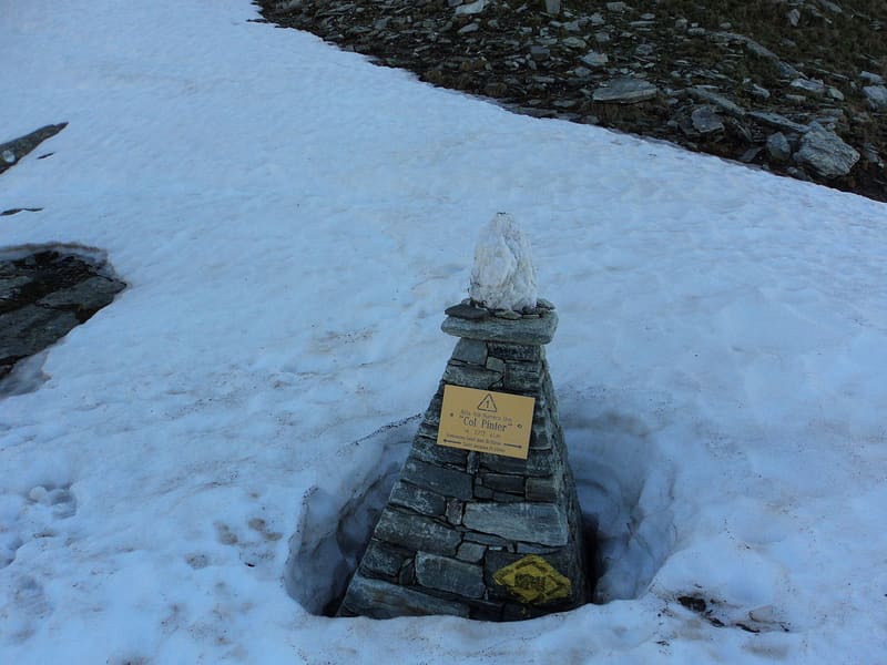
Walser pass between Ayas and Gressoney for grain and livestock; the Alta Via 1 crosses it
The pass opens on the watershed between the Val d'Ayas and the Lys Valley, below the Testa Grigia and the Gran Cima; a stone marker marks the crossing. Just below, on the Ayas side, are the Pinter lakes: the Matterhorn and the Gobba di Rollin are reflected in the smallest one.

Trails
- from Ostafa (2,419 m) · ↑ 360 m · 1 h 15 min out, 51 min back · 3 km · EE Expert · path 12 · June, July, August, September
Trails: data provided by the Struttura Forestazione e Sentieristica of the Aosta Valley Autonomous Region.
History
The pass was a trade route between the Walser communities of Ayas and Gressoney, for grain, livestock and news. Today it is a stage of the Alta Via 1, and from here the ascents to the Lateltin bivouac hut and the Testa Grigia start.
Nearby
 Bivacco Ulrich LateltinDreamt of in 1950 by the carpenter Ulrich Lateltin, built by his nephew in 1984
 Testa GrigiaAntoine Laurent climbed it alone on 10 January 1864: the first documented Italian winter ascent
 Lago PerrinFills the basin of a vanished glacier, below the face of Monte Perrin
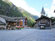 Walser EcomuseumPuròhus farmhouse from 1772, with stable and living quarters under the same roof
- Gressoney-La-Trinité Cross-Country TrailsIn November 2025 there was already skiing on a loop made with snow stored from the winter
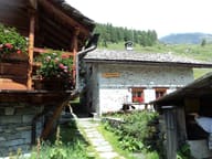 Rifugio Alpenzu GrandeInside Alpenzu Grande, a Walser village recorded as early as 1249