 The Aosta Trip
Corno Bussola
Mont de Boussolaz
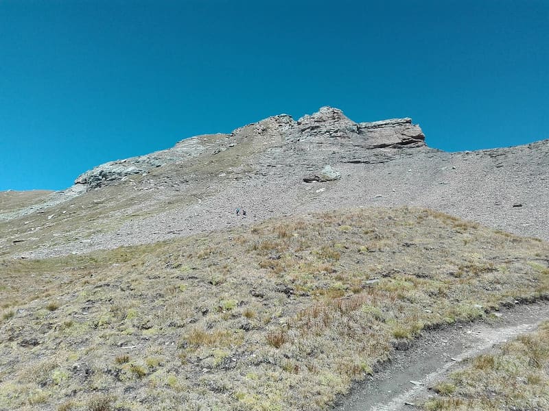
On the summit, a metal cross almost 3 metres high, made of 24 cubic sections
The summit is a broad ridge between the Mascognaz valley and the Palasinaz basin, higher than all the nearby peaks. In good weather you can see Monte Rosa, from the Breithorn to the Lyskamm, the Matterhorn, the Grand Combin, Mont Blanc, the Rutor, Gran Paradiso, the Emilius and Mont Avic. Below, to the south, lie the Palasinaz lakes.

Trails
- from Strada per Estoul (1,884 m) · ↑ 1,149 m · 3 h 49 min out, 2 h 30 min back · 7.7 km · EE Expert · path 5 - 3C · June, July, August, September
- from Pont de Messuere (1,425 m) · ↑ 1,593 m · 4 h 44 min out, 2 h 46 min back · 6.4 km · EE Expert · path 3 - 3C · July, August, September
Trails: data provided by the Struttura Forestazione e Sentieristica of the Aosta Valley Autonomous Region.
History
The true highest point is a cairn a little to the east of the cross; at the base of the cross there is a metal container with the summit book. Path 3D, recently marked out along the east ridge from the Colle Palasinaz, has short equipped sections.
Nearby
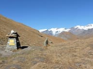 Colle PalasinazIt looks down from above on the Palasinaz lakes: Battaglia, Verde and Couloir
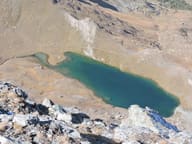 Lago PerrinFills the basin of a vanished glacier, below the face of Monte Perrin
- MascognazWalser village recorded since 1323, with rascards and the chapel of San Grato; waterfall below
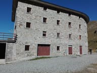 Rifugio ArpOn a plateau with 12 alpine lakes, almost all a few minutes' walk from the hut
- Ayas Cross-Country TrailsThe Ayas trails pass through eight hamlets, with views of the Monte Rosa glacier
- Brusson Cross-Country TrailsBetween 1982 and 2001 the Vollon plateau hosted five World Cup races