 The Aosta Trip
Honorary Arch of Augustus
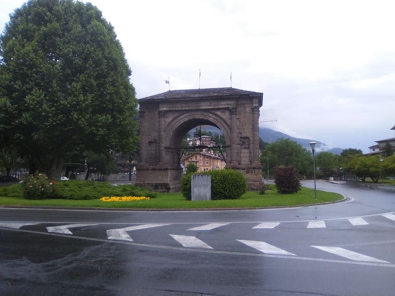
Single archway 11.40 metres high, now in the middle of a roundabout
The arch now stands in the middle of a roundabout with traffic running round it; to look at it at leisure you are best off crossing to the lawn on the west side, with benches and a hedge. Ten half-columns divide the façades and the sides and end in Corinthian capitals, but above them runs a Doric entablature with a band of triglyphs and metopes: a mixture of styles typical of the late Republican period. Next to it, towards the Buthier stream, there remains the base of the Roman bridge that once preceded it on the road to Porta Praetoria.
 One-day guide · freeAugusta Praetoria in a DayA day's walk through Roman Aosta passes here: nine stops among gates, theatre and the forum's underground galleries.Open the guide →
Visiting
Open-air monument, always accessible, with no ticket or opening hours; it stands on a road roundabout in the centre of Aosta.
History
The honorary arch was erected in 25 BC, immediately after the final defeat of the Salassi and the founding of the colony of Augusta Praetoria, under the command of the legate Aulo Terenzio Varrone Murena. It stood along the road leading to the monumental Porta Praetoria, the main entrance to the Roman city, and was intended as an eloquent sign of the presence and power of Rome. It has a single round-headed archway, 8.29 metres wide and 11.40 metres high beneath the keystone, flanked by piers with ten half-columns on Attic bases and Corinthian capitals, topped by a Doric entablature with triglyphs and metopes. Four niches on the façade held reliefs with trophies of arms, now lost together with the bronze dedicatory inscription and the attic that once crowned the monument.
In the Middle Ages the arch changed function and meaning several times: it took the popular name ‘Saint-Voût’ (Holy Face) from a sacred image placed on it, in the twelfth century a noble family occupied it as a dwelling and in 1318 a fortified post for crossbowmen was built on it. In 1449 the inhabitants hung a wooden crucifix on it as a votive offering against the floods of the Buthier stream, which flows a short distance away; the original is now kept in the treasury museum of Aosta cathedral.
In 1716, when water seepage was by then threatening the stability of the monument, which had no attic, the upper opening was closed with a pitched slate roof, a solution still visible today, though not in its original eighteenth-century form. The restoration that gave the arch its present appearance dates from 1912, directed by the superintendent Ernesto Schiaparelli, with consolidation work and the replacement of the roof.
A new, extensive restoration, funded with €1.4 million, was carried out on the monument between 2024 and 2026: the upper part was treated with lime and sand mortars to fill the gaps and create a protective layer, the scaffolding was taken down at the end of November 2025 ahead of the 2050th anniversary of the city, and work on the lower part continued between spring and early summer 2026.
Nearby
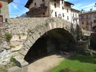 Aosta Roman BridgeIts single arch, 17 metres wide, now spans a dry bed
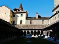 Sant'Orso Collegiate ChurchA capital in the cloister is dated 1133: the canons' communal life began here
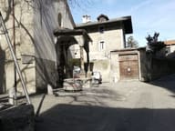 San Lorenzo Early Christian Church Archaeological AreaFifth-century Latin-cross basilica, a few metres below the floor of the present church
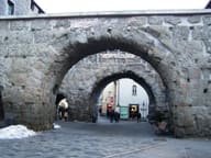 Porta PraetoriaOn the east side the marble facing added in the Claudian period (AD 41–54) survives
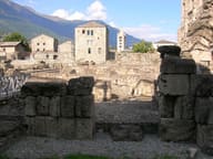 Tour FromageMentioned in a deed of 1191, from the fifteenth century it passed to the Vaudan by marriage
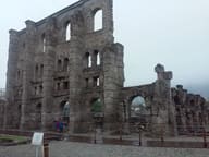 Roman TheatreSouth façade 22 metres high, with three tiers of openings that get smaller towards the top
