 The Aosta Trip
Pont d'Ael Aqueduct Bridge
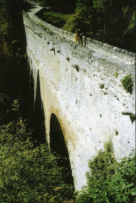
In 3 BC Caius Avillius Caimus, from Padua, had the inscription carved on the bridge
A single large arch of stone blocks spans the gorge of the Grand-Eyvia stream, 56 metres below. At the top ran the open channel that carried the water; beneath it, a covered passage about a metre wide, which you can now walk along on a glass-floored walkway suspended over the drop. Unlike the valley's town aqueducts, this one served a private purpose: carrying water to the bardiglio marble quarries.
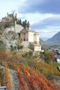 One-day guide · freeThe Fairy-Tale CastlesA day among the castles west of Aosta passes here, from the towers of Saint-Pierre to the Roman bridge of Pont d'Ael.Open the guide →
Visiting
Open April–September 9:00–19:00, closed on Mondays (except public holidays and July–August); in October Saturdays and Sundays 10:00–13:00 and 14:00–17:00; closed November–March. Full price €5, concession €3 (groups of 25+, guided tours, partner agreements), free for under-18s and for people with disabilities. The ticket is only needed for the covered passage: you can see the outside of the bridge for free. Only partial wheelchair access; rucksacks and bulky bags are not allowed in the inner passage.
History
The aqueduct bridge was built in 3 BC at the behest of Caius Avillius Caimus, an entrepreneur from Patavium (present-day Padua) who belonged to a wealthy family active in the quarrying and working of marble, as recorded by the inscription carved on three slabs of the monument. Unlike the valley's town aqueducts, it was a private work: water taken upstream on the Grand-Eyvia stream, through a channel partly cut into the rock, reached the bardiglio marble quarries of Aymavilles, in the Pesse area, where the stone also used in the monuments of Augusta Praetoria was worked.
The bridge combined two functions on two levels: at the top an open channel (the specus) carried the water, while beneath it ran a covered passage, about a metre wide, which allowed people and animals to pass along the gorge, replacing an older route cut into the rock on the right bank.
Over the centuries that stretch of service road slid into the stream below, and access to the bridge for local people became increasingly difficult, until it was essentially cut off.
A modern restoration, funded partly with European funds, involved archaeological excavations on the upper walkway and on the left bank, conservation work to consolidate the bridge's masonry and the conversion of an adjacent building into an interpretation centre for visitors. The collapsed stretch of Roman road has been rebuilt as a steel walkway, while in the inner passage the old wooden floor, by then unsafe, has been replaced by a glass slab through which you can see the drop below.
Today the site is managed by the Region and open seasonally from April to September and at weekends in October; a ticket is required only for the covered passage, while the outside of the bridge can be seen freely.
Nearby
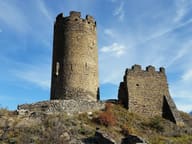 Châtel-ArgentThe name ‘Castrum Argenteum’ already appears in a document of 1176
 Introd CastleThe present polygonal plan dates from the fifteenth-century works, not from 1260
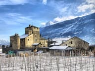 Sarriod de la Tour CastleIn the Hall of Heads, 171 carved wooden corbels, all different
 Aymavilles CastleFour corner towers added in the fifteenth century, then Baroque between 1713 and 1728
 Saint-Pierre CastleThe core dates from the twelfth century, the four corner turrets from the nineteenth
 Parc Animalier d'IntrodIbex, chamois, wolves and birds of prey along a 1.5 km path with a 150 m height gain
