 The Aosta Trip
Roman Road to Gaul at Montjovet
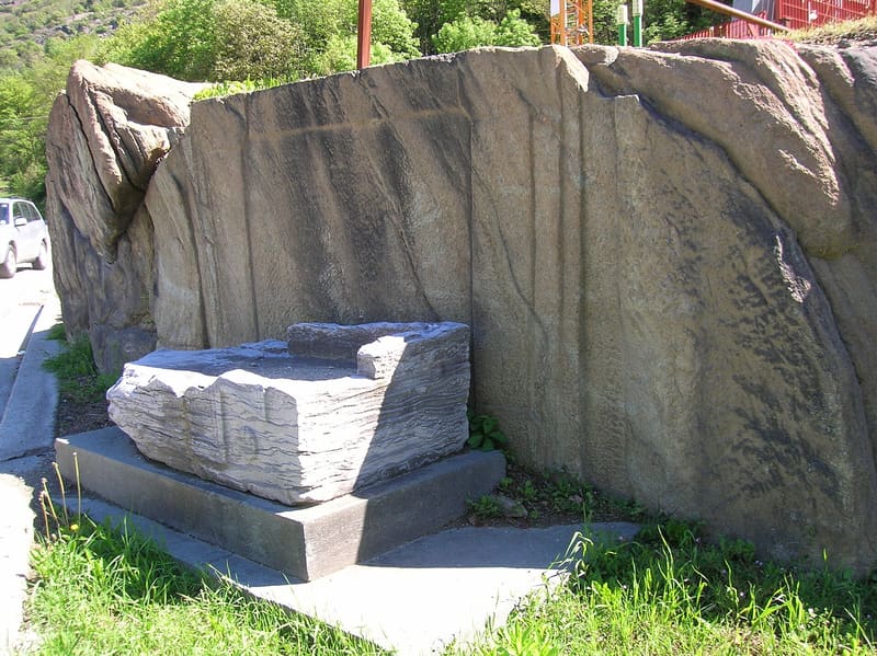
Wheel ruts cut into the rock, on a carriageway more than 4.5 metres wide
A level path halfway up the slope above the SS 26 leads from the hamlet of Balmas towards Toffo: here the surface is chiselled rock, with the ruts left by cart wheels and a side ledge at the foot of the sheer-cut rock face. At Vervaz, behind a farmhouse, another stretch shows the masonry substructures, but in poorer condition.

Visiting
Free route on a path, with no ticket or fixed opening hours; you can reach the stretch between Balmas and Toffo on foot in a short time from the hamlet of Balmas, beyond the small pass on the main road.
History
The road to Gaul was the consular road that the Romans built to link Augusta Praetoria (Aosta) to the Little St Bernard Pass and, beyond the Alps, to Gaul. It ran in straight sections keeping to the ‘adret’ side, the side of the valley more exposed to the sun, where the snow melts sooner. At Montjovet it runs halfway up the slope above the valley, cut into the rock: the surface is chiselled and more than 4.5 metres wide, enough for two carts to pass each other.
Along the road, in the stretch between Balmas and Toffo, the ruts left by the wheels of the carts that for centuries travelled it, carrying goods, soldiers and officials between the Po Valley and Gaul, remain cut into the rock. A side ledge runs at the foot of the sheer-cut rock face, supporting and sheltering the carriageway.
Montjovet, whose name derives from the Latin Mons Jovis, was a place every traveller had to pass through between the lower and middle parts of the Aosta Valley. In the Middle Ages this controlling position made the village rich, and its lords imposed tolls on goods and travellers in transit for centuries, before more modern routes moved the main traffic elsewhere.
Today the best-preserved stretches, between Balmas and Toffo and in the hamlet of Vervaz, are signposted as a hiking route, part of stage 21 of the Cammino Balteo, and protected as an archaeological site of the Region.
Nearby
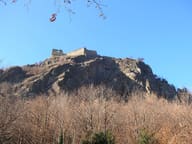 Saint-Germain CastleFrom 1438 a Savoyard garrison was stationed here, moved to Forte di Bard in 1661
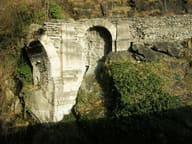 Saint-Vincent Roman BridgeThe central arch collapsed on 8 June 1839: the left abutment and part of the right remain
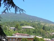 Saint-Vincent SpaWater from the Fons Salutis spring, discovered in 1770; outdoor pools at 36 °C
- Col TzecorePlateau among larches with a picnic area and views of Mont Blanc and Monte Zerbion
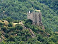 Ussel CastlePassed to the Region in 1983; linked to Marcel Bich, the Bic pen baron
- Casinò de la ValléeOpened on 29 March 1947 in the Grand Hôtel Billia; today 3,500 m² and over 400 slots