 The Aosta Trip
Col Tzecore
Plateau among larches with a picnic area and views of Mont Blanc and Monte Zerbion
It is a road pass between Challand-Saint-Anselme and Émarèse, on a plateau covered with larches. From the picnic area you can see Mont Blanc and Monte Zerbion, at the point where the main valley bends. The path to the Testa di Comagna starts from the pass, and the Gran Balconata del Cervino passes through it, leading to the Col de Joux.

Trails
- from Orbeillaz (1,119 m) · ↑ 493 m · 1 h 37 min out, 1 h 3 min back · 3 km · E Hike · path 30 - 18 - 24 · June, July, August, September
Trails: data provided by the Struttura Forestazione e Sentieristica of the Aosta Valley Autonomous Region.
History
In 2018 the Giro d'Italia climbed the Col Tzecore for the first time, on the Susa–Cervinia stage: Giulio Ciccone went over first. The race returned to the pass in 2025, on the stage finishing in Champoluc.
Nearby
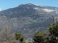 Testa di ComagnaStone cross on the summit, with a view of Mont Néry, Mont Avic and Mont Blanc
- Ru HerbalChannel from 1393, about 12 km long, carrying water as far as the hills of Verrès
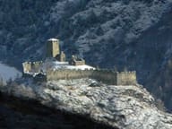 Graines CastleBeside the walls, the Romanesque church of San Martino with herringbone walls
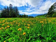 Col de JouxIn the woods at the pass flows the Ru Courtaud, an irrigation channel granted in 1393
- Chamousira Gold MineTunnel dug into the Fenilliaz vein, worked from 1900 until the early 1980s
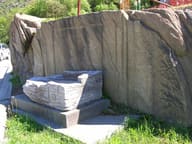 Roman Road to Gaul at MontjovetWheel ruts cut into the rock, on a carriageway more than 4.5 metres wide