 The Aosta Trip
Saint-Vincent Roman Bridge
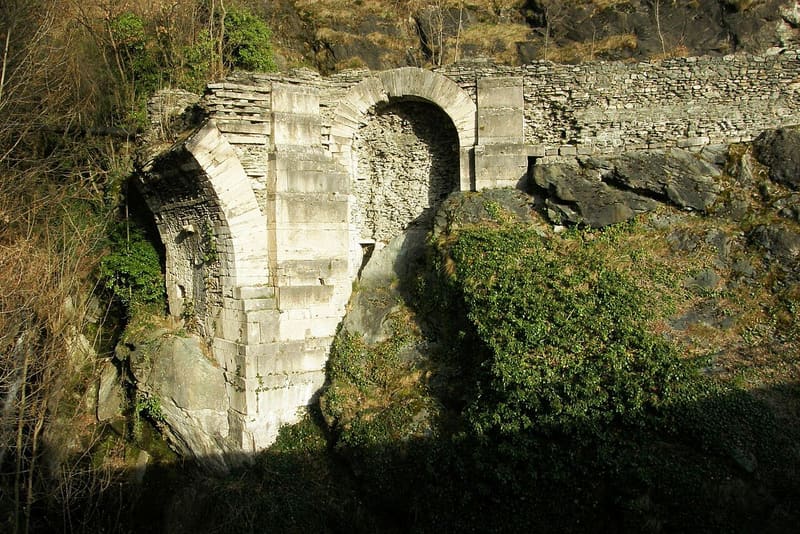
The central arch collapsed on 8 June 1839: the left abutment and part of the right remain
You can see the ruin from the main road to Montjovet, just outside Saint-Vincent, above the gorge of the Cillian stream: the left (eastern) abutment of the bridge remains, with a blind arch, while of the right one only a fragment is left. An information panel in the car park tells the history of the bridge.

Visiting
You can see it from a car park on the main road to Montjovet, with an information panel; free, with no opening hours or ticket. A longer geological trail towards the Belvedere also starts from here (about two hours with stops).
History
The Saint-Vincent Roman bridge crossed the gorge carved by the Cillian stream, along the consular road to Gaul. It consisted of three spans totalling more than 49 metres: in the centre a wide round arch with a span of 9.71 metres, at the sides two sections with small blind arches. The masonry alternated slabs of local stone with bands of green stone, with high parapets and small rectangular windows lighting the carriageway, 4.64 metres wide: a construction also designed to show the solidity and power of those who built it.
The bridge, one of the most important examples of Roman engineering in the valley, remained in use for centuries, until the nineteenth century.
On 8 June 1839 the rock spur that supported the right abutment gave way, perhaps because of an earthquake, and the central arch collapsed with it. In 1907 another arch, the western one, also gave way because of water seepage. In 1939 a restoration consolidated what remained of the structure, preventing further collapses.
Today all that remains of the bridge is the start of the arch, the eastern abutment and one surviving small blind arch: fragments visible from a car park on the main road to Montjovet, where an information panel tells its story. The bridge is now also a landmark for climbers at the crag that bears the same name.
Nearby
 Saint-Vincent SpaWater from the Fons Salutis spring, discovered in 1770; outdoor pools at 36 °C
- Casinò de la ValléeOpened on 29 March 1947 in the Grand Hôtel Billia; today 3,500 m² and over 400 slots
 Ussel CastlePassed to the Region in 1983; linked to Marcel Bich, the Bic pen baron
 Saint-Germain CastleFrom 1438 a Savoyard garrison was stationed here, moved to Forte di Bard in 1661
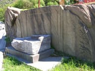 Roman Road to Gaul at MontjovetWheel ruts cut into the rock, on a carriageway more than 4.5 metres wide
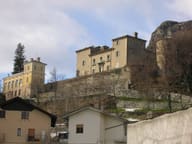 Passerin d'Entrèves CastlePrivate castle; entry to the park with monumental trees is free