 The Aosta Trip
Roman Road to Gaul and Donnas Arch
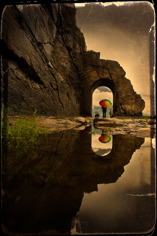
The stretch cut into the rock is 221 metres long, with walls up to 13 metres high
The road runs sunk into a vertically cut rock face, with an arched passage about 4 metres thick and high and 3 wide. On the road surface you can still see the ruts cut by cart wheels over two thousand years of traffic, and just beyond the arch the outline of a milestone protrudes, the stone that marked distances along Roman roads, inscribed ‘XXXVI’, the distance in miles from Aosta. It is one of the best-preserved stretches of Roman road in the whole Aosta Valley.
 One-day guide · freeBard and the Road to GaulA day at the entrance to the valley passes here: the Roman road to Gaul, the village of Bard and its fort.Open the guide →
Visiting
Free, open access at any time, along the old route at the edge of the SS 26, on the border between Donnas and Bard.
History
The road to Gaul was the Roman consular road that linked Eporedia (Ivrea) to Augusta Praetoria (Aosta) and continued beyond the Alps towards Transalpine Gaul. At Donnas the Romans found themselves facing a spur of rock dropping sheer to the Dora Baltea, which blocked the way along the valley, and they got past it by cutting the mountain vertically to create a passage: a stretch of 221 metres (222 according to other sources) with walls up to 13 metres high, about 4.75 metres wide, closed by an arch about 4 metres thick and high.
The sources disagree on the date of construction: the architectural historian Carlo Promis, in the nineteenth century, places the completion of the consular road in 120 BC, shortly after the military campaign of Appio Claudio against the Salassi. The archaeologist Pietro Barocelli judged this dating too absolute for a work of such scale carried out in a context still at war, and proposed a more gradual construction; later studies hold that the final layout, with the paving that made the road passable for carts, dates only from the time of the emperor Claudius (AD 41–54).
Along the excavated stretch you can still see the ruts left by cart wheels over centuries of traffic, and just beyond the arch a milestone protrudes from the rock, the stone that marked distances along Roman roads, inscribed ‘XXXVI’, which indicated a distance of thirty-six Roman miles from Aosta, just over 53 kilometres.
In the Middle Ages the arch, which the Romans had also designed as a structural reinforcement against the risk of the rock face above collapsing, was adapted as the fortified entrance gate to the village of Donnas, closed every night for defence; the road remained in use for traffic along the valley until the mid-nineteenth century, when new routes bypassed it.
Today the stretch can be visited freely all year round, at the edge of the SS 26, on the border between the municipalities of Donnas and Bard, and it is considered among the best-preserved remains of Roman road engineering in the whole Aosta Valley.
Nearby
 Roman Road to Gaul at BardThe substructures above the fort's car park are 16 metres high and 58 long
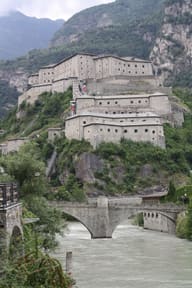
 Forte di BardIt held up the Napoleonic army for about two weeks in May 1800
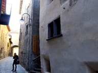 Bard VillageThe bullet holes from the Napoleonic siege of 1800 remain on Palazzo Nicole
- 'L CastelThe museum on the first floor recalls the bombing of the town on 23 August 1944
 Pramotton TowerHexagonal medieval tower with its entrance door four metres off the ground
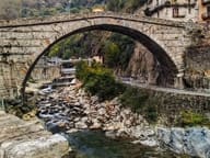 Roman Bridge and Roman Bridge MuseumSingle span of 31.55 metres, the widest among Roman bridges of its time in Europe
