 The Aosta Trip
Col de Nannaz
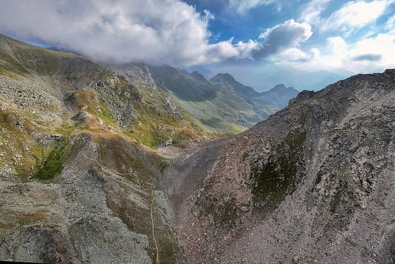
From Chamois you climb along the Cleyva Bella doline, the largest in the Aosta Valley
The pass opens between the Becca Trécare and the Becca di Nana, on the watershed between Valtournenche and the Val d'Ayas. As you arrive, the Monte Rosa massif is in front of you. Just beyond the pass a large cairn marks the Alta Via No. 1.

Trails
- from Chamois (1,812 m) · ↑ 982 m · 3 h 5 min out, 2 h 2 min back · 6.6 km · E Hike · path 4 · June, July, August, September
- from Saint-Jacques (1,700 m) · ↑ 1,082 m · 3 h 18 min out, 2 h 8 min back · 6.7 km · E Hike · path 4A · June, July, August, September
Trails: data provided by the Struttura Forestazione e Sentieristica of the Aosta Valley Autonomous Region.
History
Climbing from Chamois you cross the Cleyva Bella plateau, with the ruins of an ancient settlement and a doline: the stream disappears into a swallow hole at the end of the small lake.
Nearby
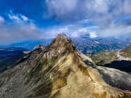 Becca TrécareThe name means ‘of the three boundaries’: Ayas, Chamois and Valtournenche meet here
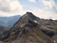 Becca di NanaAlpini cross for the 18 killed on the Gavia in 1954: Mass at the summit every 14 August
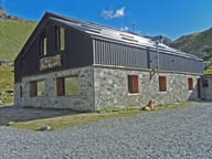 Rifugio Grand TournalinBuilt in 1994 by the Becquet family, a stage of the Tor des Géants since 2010
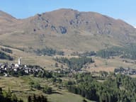 Monte FacciabellaFrom the summit ridge you can see Castore, Polluce, the Lyskamm and the Breithorn
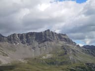 Becca d'AranCross at the top of the west face, 1,400 m above the village of Valtournenche
- Ru des NovallesIrrigation channel still in use, running level from Lago di Lod to Alpe Les Foressus