 The Aosta Trip
Col Champillon
Col de Champillon
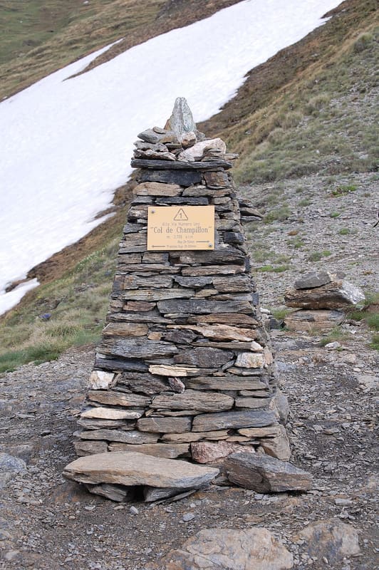
Pass on the Alta Via 1 and the Tor des Géants, with views from Mont Blanc to the Grand Combin
The pass is a broad saddle marked by a tall cairn. It links the Champillon basin, above Doues, with the Great St Bernard valley. From the pass you can see Mont Blanc; moving a few metres along the ridge, the Grand Combin and Mont Gelé come into view, and in clear air Monte Rosa.

Trails
- from Laghetto Champillon (2,077 m) · ↑ 633 m · 1 h 48 min out, 1 h 6 min back · 3.6 km · E Hike · path 9 - AV1 - TDC
- from Champillon (2,080 m) · ↑ 643 m · 1 h 54 min out, 1 h 8 min back · 3.1 km · E Hike · path TDC - AV1 · June–September
- from Etroubles (1,339 m) · ↑ 1,376 m · 4 h 9 min out, 2 h 31 min back · 6.6 km · E Hike · path 22 · June–September
- from Planavilla (1,192 m) · ↑ 1,552 m · 4 h 47 min out, 2 h 57 min back · 7.8 km · E Hike · path 8 - AV1 - TDC · June–September
Trails: data provided by the Struttura Forestazione e Sentieristica of the Aosta Valley Autonomous Region.
History
The Alta Via 1 and the Tour des Combins cross the pass. Half an hour below, towards Doues, is the Champillon hut, opened on 3 July 2005 and dedicated to Adolphe Letey, mayor of Doues from 1951 to 1990. At Plan Détruit, where the ascent from Doues starts, a cross commemorates a battle against the Valaisans.
Nearby
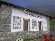 Rifugio Champillon Adolphe LeteyDedicated to Adolphe Letey, mayor of Doues from 1951 to 1990; an hour from the car
- Ru de MenouveRu piped under a level dirt track as far as Alpe Ponteille, facing Mont Fallère
- Bivacco MollineA 16-place bivouac hut, open all year round, at the foot of Mont Vélan (3,710 m)
 Monte PagliettaLarge stone cairn on a knoll above Saint-Oyen, facing Mont Vélan
- Ollomont Cross-Country TrailsFrom the Ollomont trails you can see the Grand Combin, over 4,000 m, and Mont Vélan
 Parish Treasury MuseumFive display cases of goldsmiths' work from 1400 on, opened in 2011 in Santa Maria Assunta