 The Aosta Trip
Rifugio Champillon Adolphe Letey
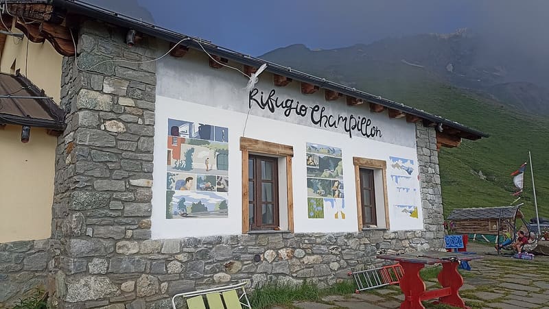
Dedicated to Adolphe Letey, mayor of Doues from 1951 to 1990; an hour from the car
The hut stands on a knoll above the Tza di Champillon alpine pasture, with a view of the Ollomont valley and the lower Valpelline. On the way up you can see the Grand Combin. It has a sauna and organises evenings at the telescope to look at the Milky Way. It is a stop on the Alta Via 1 and the Tour des Combins, just below the col de Champillon.

Visiting
From mid-June to the end of October 2026, conditions permitting. 30 beds. From Plan Détruit - Plan du Débat (Doues, 2,076–2,078 m): by car to the Plan Détruit car park (12 km from Doues), then on foot along the Ru de By and on a path (1h, path 8, E). From Rey (Ollomont, 1,349–1,379 m): on foot (2h30–3h10 depending on the source, path AV1, E). From Prailles-Dessous (1,557 m): on foot on the Alta Via 1 via the col de Champillon (3h, path AV1, E). Phone: +39 320 2253348 / +39 339 6359679.
Trails
- from Rey (1,379 m) · ↑ 1,041 m · 3 h 7 min out, 1 h 54 min back · 5 km · E Hike · path AV1 · July–September
Trails: data provided by the Struttura Forestazione e Sentieristica of the Aosta Valley Autonomous Region.
History
The hut was inaugurated on 3 July 2005. It bears the name of Adolphe Letey, mayor of Doues for 39 years, from 1951 to 1990, who bet on the link between farming and tourism for the village.
Nearby
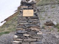 Col ChampillonPass on the Alta Via 1 and the Tor des Géants, with views from Mont Blanc to the Grand Combin
- Ru de MenouveRu piped under a level dirt track as far as Alpe Ponteille, facing Mont Fallère
- Ollomont Cross-Country TrailsFrom the Ollomont trails you can see the Grand Combin, over 4,000 m, and Mont Vélan
- Bivacco MollineA 16-place bivouac hut, open all year round, at the foot of Mont Vélan (3,710 m)
- Ru du MontRu from 1400, rebuilt in 1949 with a tunnel of about 750 m cut into the rock
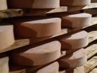 Fontina Museum and Visitor CentreThe wheels mature for 80 days in the tunnel of an old mine, a store since 1961