 The Aosta Trip
Champlève Cross-Country Trails
At Champlève the ‘Colombé’ variant has 500 m of hard climbing and as much technical descent
The trails are on the Champlève plateau, at 1,840 m, about 4 km from the village towards Cheneil. Three marked courses for 6 km: a flat 1 km practice area, the 3 km blue loop and the 2 km red ‘Colombé’ variant. You look out to the Grandes Murailles; the access is in front of the car park, near the ‘Lo Baraquién’ bar.
The Champlève trails and the Breuil-Cervinia trail are run by the Club des Sports di Valtournenche.

Visiting
2025/26 season: day pass €7, concession €5 (aged 5–13 and over-65s). Tickets at the Champlève bar or online at scinordicovalledaosta.it. Opening hours: 10:00–16:00. There is no hire at Champlève: equipment in the village. 2026/27 season: dates not yet published; opening depends on the snow.
Pistes
Beginners' area, 1 km — One flat kilometre for those starting out: blue, easy.
Blue loop, 3 km — Medium difficulty, with many climbs and descents: you already need some command of your skis.
Colombé, 2 km — Red variant, moderately difficult, for well-prepared skiers. In places it is very demanding, both technically and physically: 500 m of hard climbing and as much technical, fast descent.
Tour di Mande — Free touring trail at the arrival station of the gondola, with loops from 3 to 7 km.
Nearby
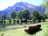 Lago di LozSmall lake at 1,700 m with benches and picnic tables, 40 minutes' walk from the village
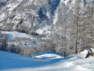 ValtournencheFrom the Cime Bianche pass the runs link to Breuil-Cervinia and Zermatt
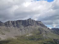 Becca d'AranCross at the top of the west face, 1,400 m above the village of Valtournenche
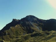 Mont PancherotBelow the summit, Lake Cignana; at the end of the valley, the south side of the Matterhorn
- Ru CrépinPath along the ru to the Gouffre des Busserailles, a gorge 104 m long and 35 m deep
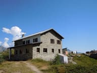 Rifugio Barmasse200 metres from the Cignana lake, the largest in the Valtournenche