 The Aosta Trip
Fontainemore
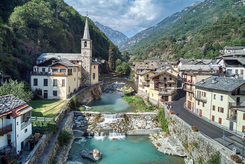
A stone bridge with a single 22-metre arch crosses the Lys to the church
The main village, at 760 metres in the lower Lys valley, is packed onto the two banks of the stream. The humpback stone bridge, with a single 22-metre arch, leads to the parish church of Sant'Antonio Abate, which has a carved wooden door with St Gratus, St Jucundus, St Anthony and St Ursus. The visitor centre of the Mont Mars Nature Reserve is also in the main village.

Visiting
The bridge and the church are in the main village; you reach the church on foot by crossing the bridge over the Lys. By bus: VITA Group's Pont-Saint-Martin-Gressoney line.
History
There are two hypotheses about the origin of the name, both linked to a fountain. Tradition says that in 543 the monk St Maurus, arriving from Oropa over the Barma pass, prayed in the little village square and made a spring gush forth there: hence ‘Fontaine Maur’, and the call to build a chapel to St Anthony the Hermit, which is said to have been built in the seventh century. Another explanation, also handed down, speaks of a ‘black fountain’, because of the dark algae on the bottom, or of ‘Fontaine de la mort’, because of the arsenic in the water.
For centuries Fontainemore depended on the parish of Perloz. On 29 September 1483, after thirty-three years of requests, the inhabitants obtained a parish of their own, which separated completely from Perloz only in 1693. The church of Sant'Antonio Abate was built in 1494 in place of the old chapel: an inscription in Gothic characters, on a stone now set into a wall in front of the rectory, attributes it to the master builder Antonio Goyet of Issime. Destroyed by a landslide, it was rebuilt in 1679, as the inscription ‘réédifiée IHS 1679’ on the portal records, and reconstructed again after the flood of 1756, the period of the wooden high altar. From the fifteenth century there remain the chancel with the round apse and the vault with the Vallaise coat of arms.
The lords of Vallaise appear in the Lys valley in the twelfth century and govern it until the eighteenth. From 1592 to 1777 Fontainemore was the seat of their mandement: hearings were held at Colombit, where the prisons and the old courthouse remain. Further up the valley, the Guillemore gorge marked the boundary between the Vallaise mandement and that of Issime and Gressoney, and at the same time the passage from the Franco-Provençal world to the Walser one.
The history of the village is also a history of emigration. From spring to autumn the men left as ‘maçons’, masons, for Savoy, France and Switzerland, as far as Turin, Marseille, Lyon, Grenoble and Paris; the women were left with the work in the fields. In 1678 the mason Jean Pierre Aguettaz donated a thousand scudi to found a school, considered the first public primary school in the Aosta Valley. Between the late nineteenth and the early twentieth century emigration became permanent and changed trade: many fontainemorains became taxi drivers in Paris. A tradition is also linked to the masons: in 1380 the relics of St Gratus, stolen from Aosta cathedral, are said to have been found by masons from Fontainemore working in Savoy and brought back to the valley; for this reason, at the procession of 7 September in Aosta, the relics are still carried by masons from Fontainemore in costume.
Since the second half of the sixteenth century the community has gone on pilgrimage to the sanctuary of Oropa, to ask the Black Madonna for protection from drought, disease and disaster. The procession is repeated every five years, at the end of July: it leaves at midnight from the Pillaz chapel, crosses the Barma pass, waits for dawn at the Pian della Ceva in front of the five crosses and reaches Oropa around midday; the next day the pilgrims walk the same route in reverse back to the parish church.
Nearby
- Coumarial Cross-Country TrailsFacing south-east, the Coumarial trails get the sun until dusk
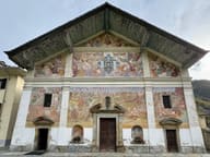 San Giacomo Church in IssimeThe Last Judgement on the façade, from 1698, is the largest in the Aosta Valley
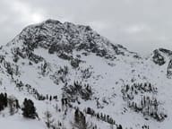 Mont MarsAt 2,600 m it is the highest summit in the Biellese, on the border with the Lys Valley
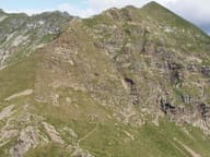 Colle della GragliascaAt the pass an engraving marks the 7,360 m of mule track climbed from Rosazza, in Valle Cervo
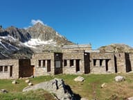 Rifugio BarmaA stone hut built around a rock, between the two Barma lakes
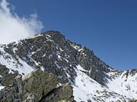 Mont CrabunCross with a wooden Christ; below the summit a bivouac hut in two parts, from 1989 and 1993