 The Aosta Trip
Lago Perrin
Lac Perrin
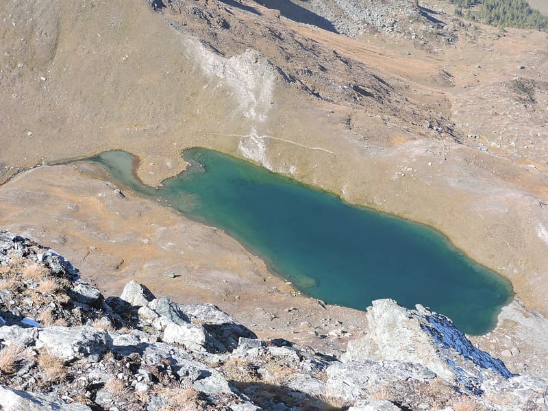
Fills the basin of a vanished glacier, below the face of Monte Perrin
The lake lies in a glacial basin closed off to the north-east by the Gran Cima and to the south-east by Monte Perrin, whose rock face drops down to the water. Above the basin only a small scree-filled valley remains. The shores are edged with cotton grass, and the stream that runs down towards Mascognaz rises from the lake.

Trails
- from Champoluc (1,569 m) · ↑ 1,147 m · 3 h 29 min out, 2 h 9 min back · 6 km · E Hike · path 13 · June, July, August, September
Trails: data provided by the Struttura Forestazione e Sentieristica of the Aosta Valley Autonomous Region.
History
Going down towards Mascognaz along the outflow stream you pass the Omo de pera, or stone man, an isolated rock that also looks like a hand pointing at the sky.
Nearby
 Colle PinterWalser pass between Ayas and Gressoney for grain and livestock; the Alta Via 1 crosses it
 Colle PalasinazIt looks down from above on the Palasinaz lakes: Battaglia, Verde and Couloir
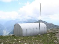 Bivacco Ulrich LateltinDreamt of in 1950 by the carpenter Ulrich Lateltin, built by his nephew in 1984
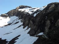 Testa GrigiaAntoine Laurent climbed it alone on 10 January 1864: the first documented Italian winter ascent
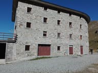 Rifugio ArpOn a plateau with 12 alpine lakes, almost all a few minutes' walk from the hut
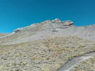 Corno BussolaOn the summit, a metal cross almost 3 metres high, made of 24 cubic sections