 The Aosta Trip
Testa Grigia
Tête Grise
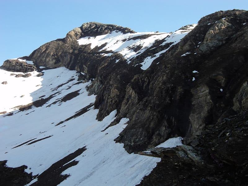
Antoine Laurent climbed it alone on 10 January 1864: the first documented Italian winter ascent
It is the highest peak between the Val d'Ayas and the Lys Valley. From the summit you can see the Monte Rosa four-thousanders in a row, from the Breithorns to Punta Giordani, with the Matterhorn on the far left. On clear days the view reaches Mont Blanc, the Grivola and Monviso. At the top a tripod holds the bell of CAI Parabiago.

Trails
- from Capoluogo (1,665 m) · ↑ 1,689 m · 5 h 2 min out, 2 h 52 min back · 5.9 km · EEA Equipped · path 10 - 10C · July, August, September
- from Champoluc (1,569 m) · ↑ 1,814 m · 5 h 27 min out, 3 h 16 min back · 8.2 km · EEA Equipped · path 11A · July, August, September
Trails: data provided by the Struttura Forestazione e Sentieristica of the Aosta Valley Autonomous Region.
History
The first ascent dates from 7 August 1858: it was made by the Aosta Valley mountaineers Delapierre, Laurent and Rignon with the Pinneys, an English married couple. On 10 January 1864 Antoine Laurent returned to the summit alone, in midwinter. He wrote no reports and was not a member of the CAI, so the feat was reported as the first Italian winter ascent only in 1887, in the Bollettino del CAI. The grey that gives the mountain its name comes from the calcschists that form it.
Nearby
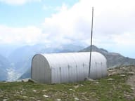 Bivacco Ulrich LateltinDreamt of in 1950 by the carpenter Ulrich Lateltin, built by his nephew in 1984
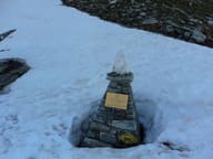 Colle PinterWalser pass between Ayas and Gressoney for grain and livestock; the Alta Via 1 crosses it
- Gressoney-La-Trinité Cross-Country TrailsIn November 2025 there was already skiing on a loop made with snow stored from the winter
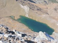 Lago PerrinFills the basin of a vanished glacier, below the face of Monte Perrin
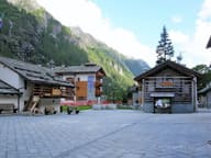 Walser EcomuseumPuròhus farmhouse from 1772, with stable and living quarters under the same roof
- Lago CiarcerioSaddle lake between the Contenery and Ciarcerio valleys, where a chairlift arrives