 The Aosta Trip
Alpe Ars
Tza d'Ars
Alpine pasture at 1,975 m, reached almost on the level along the ru Collet, in the Ars valley
The alpine pasture lies in a lonely basin closed off to the south by the Cresta Tardiva and the Mont de la Tsa and to the north by the Mont Labiez. The ru Collet enters the valley on a gentle gradient, skirting the Cresta Tardiva. You can return along the old military road near the Praz-Gallet alpine pasture, or carry on to Rifugio Chaligne.

Trails
- from Petit-Buthier (1,410 m) · ↑ 562 m · 1 h 49 min out, 1 h 14 min back · 4.3 km · E Hike · path 3 - 3B - 4 · June–September
- from Petit-Buthier (1,410 m) · ↑ 562 m · 2 h 4 min out, 1 h 28 min back · 5.7 km · E Hike · path 3 - 3A - 3C - 4 · June–September
- from La Cheriettes (1,080 m) · ↑ 890 m · 4 h 5 min out, 3 h 5 min back · 12.2 km · E Hike · path 3B · June–September
Trails: data provided by the Struttura Forestazione e Sentieristica of the Aosta Valley Autonomous Region.
Nearby
- Rifugio ChaligneAn old stone and wood alpine-pasture chalet, which became a hut on 21 June 2006
- Punta ChaligneEvery 16 August two processions, from Gignod and from Excenex, climb to the summit crosses
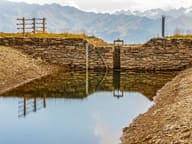 Lago FallèreLake at 2,415 m below Mont Fallère, with a view of the Grivola, Gran Paradiso and Emilius
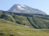 Mont FallèreBelow the summit, the ruins of the Regina Margherita hut (1884) and the Pansa bivouac (2022)
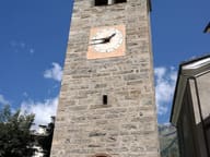 Parish Treasury MuseumFive display cases of goldsmiths' work from 1400 on, opened in 2011 in Santa Maria Assunta
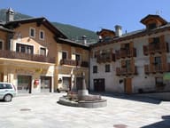 ÉtroublesSculptures and installations in the streets: an open-air museum since 2005, on the Via Francigena