 The Aosta Trip
Bec del Pio Merlo
Bec du Pio Merlo
Below the summit runs the Tracciolino, the service railway of the Goillet dam
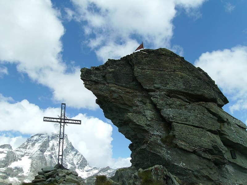
A tooth of rock above the Breuil basin. The cross stands on a fore-summit; the true summit, five metres higher, can only be reached by climbing. Opposite are the Matterhorn and the Grandes Murailles, with the Mont Tabel glacier and the Dent d'Hérens; to the east the Breithorn and the Plateau Rosà.

Trails
- from Breuil-Cervinia (1,990 m) · ↑ 618 m · 2 h out, 1 h 15 min back · 3.3 km · E Hike · path 17 · June, July, August, September
- from Perrère (1,860 m) · ↑ 740 m · 2 h 17 min out, 1 h 30 min back · 4.9 km · Hike · path 18
Trails: data provided by the Struttura Forestazione e Sentieristica of the Aosta Valley Autonomous Region.
History
The Tracciolino is a narrow-gauge railway built for the works on the Perrères hydroelectric plants and the Goillet dam. At the Vertice, on the Grande Balconata del Cervino, a small ecomuseum keeps the winch that hauled the wagons from the Perrères power station and the locomotive that ran on the level as far as the foot of the dam. Along the ascent there is the Sant'Anna votive chapel, at the Promindoz alpine pasture.
Nearby
 Western Motta di PlétéOn the summit Big Bench No. 168, since 2021 the highest giant bench in the world
 Breuil-Cervinia, Cervino Ski ParadiseThe Ventina run: 11 km from Plateau Rosà at 3,480 m to the village at 2,050 m
 Breuil-Cervinia Cross-Country TrailThe Breuil-Cervinia loop runs over the golf fairways, with the Matterhorn behind it
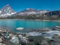 Lago GoilletThe Matterhorn is reflected in a 12-million-cubic-metre reservoir at 2,516 m
- Ru CrépinPath along the ru to the Gouffre des Busserailles, a gorge 104 m long and 35 m deep
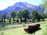 Lago di LozSmall lake at 1,700 m with benches and picnic tables, 40 minutes' walk from the village