 The Aosta Trip
Rifugio Walter Bonatti
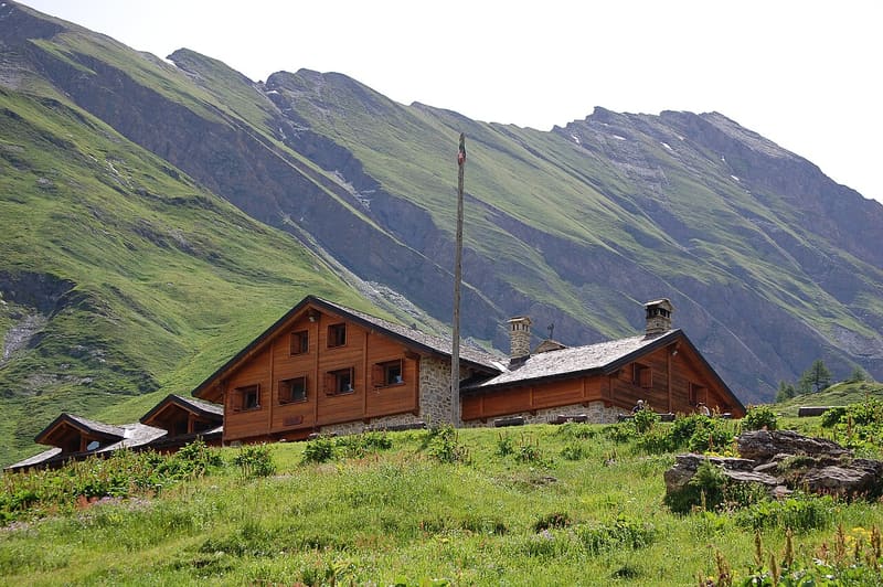
The first hut in Italy named after Walter Bonatti, inaugurated with him in 1998
The hut stands at the foot of the Grandes Jorasses, opposite the Fréboudze glacier. As you come out of the woods you see the whole Mont Blanc massif, with the Aiguille Noire (3,773 m) on the left. The dining room has wooden furniture and a large majolica stove. It is a stop on the Tour du Mont Blanc and the Alta Via 1.

Visiting
Winter: from 13 February to 5 April. Summer: from 1 June to 30 September. Reopens on 13 February 2027. 78 beds. From La Remisa, just above Lavachey (Val Ferret): on foot, through the larch wood and then across the pastures (1h, path 27, E). From Villair (Courmayeur), via the Rifugio Bertone: on foot (4h16, about 1,060 m height gain, path AV1 - TMB, E). From the Rifugio Frassati, via the Col Malatrà (stage 16 of the Alta Via 1): on foot (3h02, path AV1, E). Phone: +39 0165 1855523 (hut); +39 335 6848578 (hut keeper).
Trails
- from La Remisa (1,695 m) · ↑ 332 m · 59 min out, 35 min back · 1.5 km · E Hike · path 28 · June–October
- from Rifugio Frassati (2,506 m) · ↑ 427 m · 3 h 2 min out, 3 h 30 min back · 7.6 km · E Hike · path AV1 · July–September
- from Villair (1,239 m) · ↑ 1,062 m · 4 h 16 min out, 3 h 24 min back · 11.5 km · E Hike · path AV1 - TMB · June–October
Trails: data provided by the Struttura Forestazione e Sentieristica of the Aosta Valley Autonomous Region.
History
The idea came from three friends: the industrialist Pierre Sicouri, the mountain guide and architect Sergio Favre and the surveyor Flavio Guichardaz. The site was chosen through an environmental impact study agreed with the Soprintendenza, lower down than the Malatrà plateau planned at first. Work began in July 1996 and the hut was inaugurated on 1 August 1998 in the presence of Walter Bonatti, a friend of Sicouri, who had agreed to give it his name. In the early years there was a room reserved for him, the ‘maison de Walter’.
Nearby
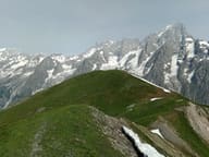 Testa BernardaGrassy summit facing Mont Blanc, the Dente del Gigante and the Grandes Jorasses
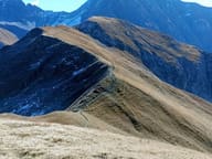 Tête de la TroncheGrassy summit at 2,584 m with Mont Blanc and the Aiguille Noire de Peuterey opposite
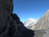 Col MalatràNarrow notch at 2,936 m, the highest point of the Alta Via 1
- Bivacco Gianni Comino1982 bivouac hut below Mont Greuvetta, overlooking the Triolet basin
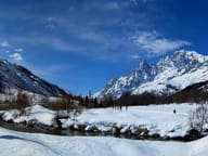 Val Ferret Cross-Country TrailsFrom Planpincieux, 22 km of trails run up the Val Ferret as far as Lavachey
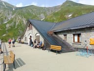 Rifugio ElenaFacing the Pré de Bard glacier, an hour from the Col Ferret and the Swiss border