 The Aosta Trip
Rifugio Elena
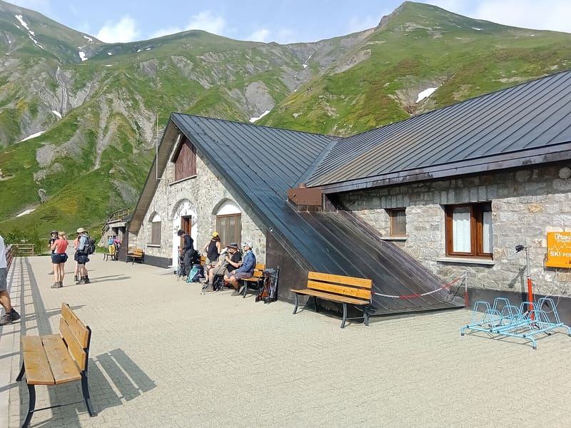
Facing the Pré de Bard glacier, an hour from the Col Ferret and the Swiss border
The hut stands at the head of the Val Ferret, among wide pastures, facing the Pré de Bard glacier. From the terrace you can see Mont Dolent, and in an hour you climb to the Col Ferret, on the border with Switzerland. Inside there are wooden beams, exposed stone and a fireplace. It is a stage of the Tour du Mont Blanc and a base for the Bivacco Fiorio and Mont Dolent.

Visiting
From 6 or from 19 June to 27 September. 127 beds. From Arnouva / Arp Nouva (1,769 m), at the head of the Val Ferret: on foot on a dirt road and mule track, or on the panoramic path (1h, about 300 m height gain, path 25, E). Phone: +39 0165 844688.
Trails
- from Arp-Nouva (1,770 m) · ↑ 291 m · 59 min out, 39 min back · 2.1 km · E Walk · path TMB · June–September
Trails: data provided by the Struttura Forestazione e Sentieristica of the Aosta Valley Autonomous Region.
History
The first hut was built shortly after the First World War, in stone and larch wood. In 1960 an avalanche destroyed it completely and the site remained empty for decades. It was rebuilt on the old foundations and renovated again in 2020. In 2025 the Chanoine family, which also runs the Torino and Monzino huts, bought it from the Decarolis/Donnet family, who had built it.
Nearby
 Col du Grand FerretThe highest point of the classic Tour du Mont Blanc, at 2,537 m on the Swiss border
 Col du Petit FerretPass on the Swiss border, looking out over the head of Pré de Bar and the upper Val Ferret
- Bivacco Gianni Comino1982 bivouac hut below Mont Greuvetta, overlooking the Triolet basin
 Rifugio Cesare Dalmazzi al TrioletAt the foot of the Triolet glacier, reached with fixed ropes and metal steps
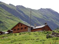 Rifugio Walter BonattiThe first hut in Italy named after Walter Bonatti, inaugurated with him in 1998
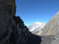 Col MalatràNarrow notch at 2,936 m, the highest point of the Alta Via 1