 The Aosta Trip
Col Malatrà
Col de Malatra
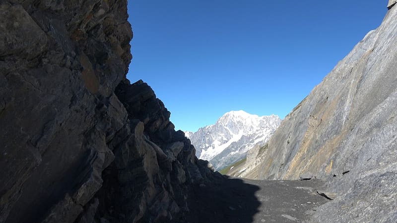
Narrow notch at 2,936 m, the highest point of the Alta Via 1
The pass is a narrow notch in a ridge of sharp peaks, between the Val Ferret and the Merdeux basin above Saint-Rhémy-en-Bosses. From the pass you can see Mont Blanc and the Grandes Jorasses on one side and the Grand Combin on the other. The last metres on the Saint-Rhémy side have iron steps and a fixed rope.

Trails
- from Rif . Bonatti (2,033 m) · ↑ 903 m · 2 h 45 min out, 1 h 48 min back · 5.7 km · E Hike · path 28 - AV1 · July–September
- from Rosière (1,619 m) · ↑ 1,253 m · 4 h out, 2 h 37 min back · 8.5 km · E Hike · path AV1 · June–September
Trails: data provided by the Struttura Forestazione e Sentieristica of the Aosta Valley Autonomous Region.
History
It is the highest point of the Alta Via 1 of the Aosta Valley. In September the pass gives its name to the TOR30 Passage au Malatrà race, 30 km of mountain running from Saint-Rhémy-en-Bosses to Courmayeur.
Nearby
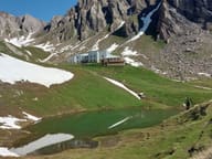 Rifugio Piergiorgio FrassatiBuilt by Operazione Mato Grosso volunteers carrying loads on their backs, 2008 to 2011
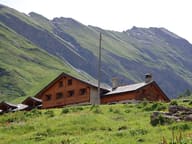 Rifugio Walter BonattiThe first hut in Italy named after Walter Bonatti, inaugurated with him in 1998
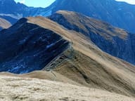 Tête de la TroncheGrassy summit at 2,584 m with Mont Blanc and the Aiguille Noire de Peuterey opposite
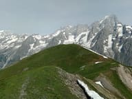 Testa BernardaGrassy summit facing Mont Blanc, the Dente del Gigante and the Grandes Jorasses
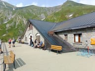 Rifugio ElenaFacing the Pré de Bard glacier, an hour from the Col Ferret and the Swiss border
- Bivacco Gianni Comino1982 bivouac hut below Mont Greuvetta, overlooking the Triolet basin