 The Aosta Trip
Testa Bernarda
Tête de Bernarde
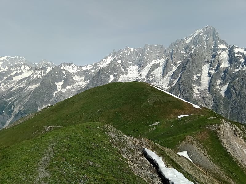
Grassy summit facing Mont Blanc, the Dente del Gigante and the Grandes Jorasses
The summit, marked by a cairn with a pole, lies on the grassy crest between Val Ferret and Val Sapin. Opposite, beyond Val Ferret, are the Grandes Jorasses, the Dente del Gigante and Mont Blanc. A little further on, along the same ridge, is the Tête de la Tronche (2,584 m), the highest point of the loop. Below, you cross the pastures of the Mont de la Saxe.

Trails
- from Mayencet (1,612 m) · ↑ 998 m · 3 h 16 min out, 2 h 15 min back · 9 km · E Hike · path 31 - 42 · July–September
- from Villair (1,239 m) · ↑ 1,309 m · 3 h 46 min out, 2 h 22 min back · 7.6 km · E Hike · path 42 - AV1 - TMB · June–October
Trails: data provided by the Struttura Forestazione e Sentieristica of the Aosta Valley Autonomous Region.
History
On the IGM map the summit is called Testa Bernarda, on the regional maps Tête-de-Bernarde. The Arrancabirra passes over it, an uphill race from Courmayeur to the Tête de la Tronche with beer-based refreshment points.
Nearby
 Tête de la TroncheGrassy summit at 2,584 m with Mont Blanc and the Aiguille Noire de Peuterey opposite
 Val Ferret Cross-Country TrailsFrom Planpincieux, 22 km of trails run up the Val Ferret as far as Lavachey
 Rifugio Walter BonattiThe first hut in Italy named after Walter Bonatti, inaugurated with him in 1998
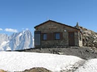 Bivacco Luigi PascalInaugurated in 2006 at 2,920 m, it looks onto the Brenva, Mont Blanc and the Grandes Jorasses
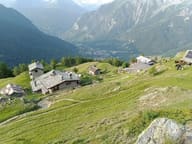 Rifugio Giorgio BertoneBuilt in 1982 by Lorenzino Cosson in memory of his friend Giorgio Bertone
- Rifugio Chapy Mont BlancA Giovane Montagna house inaugurated in 1959, a Tour du Mont Blanc hut since 2025