 The Aosta Trip
Val Ferret Cross-Country Trails
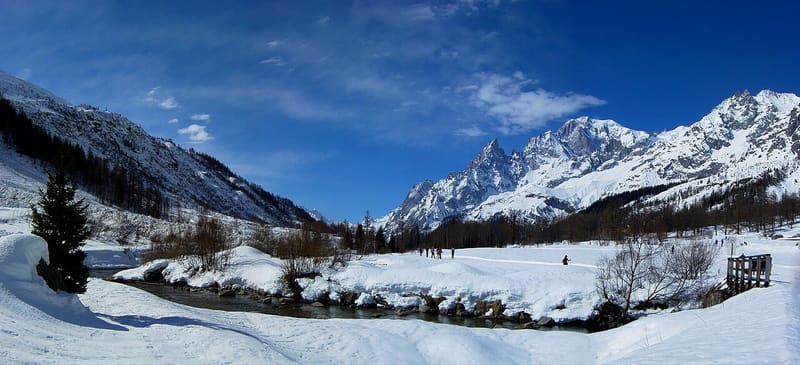
From Planpincieux, 22 km of trails run up the Val Ferret as far as Lavachey
The trails start from Planpincieux (1,580 m), where the Foyer Val Ferret has a ticket office, changing room and showers. Three loops in succession, Le Pont (2.9 km), Pra Sec and Freboudze, run up the valley to Lavachey, and about ten short variants let you lengthen or shorten the circuit. In all 22 km on the valley floor, below the Mont Blanc massif.
The Val Ferret is one of Courmayeur's two valleys at the foot of Mont Blanc, together with the Val Veny. The Foyer de Fond also houses the ski school and the rescue service. Since 2021 day tickets can also be bought online.

Visiting
Season from November to May; in 2025/26 the trails closed on 10 April (2026/27 dates not yet published). 2025/26: day pass €11, concession €7; Val Ferret season pass €80, and the regional season pass is also valid. Tickets at the Foyer de Fond and online at scinordicovalledaosta.it. At the Foyer there is the ski school; hire, with waxing and a baby snow park, is best checked beforehand. Planpincieux can be reached by car or by shuttle bus.
Pistes
Loop 1, Planpincieux–Le Pont, 2.9 km — The first section, blue, starts from the Foyer at Planpincieux. It can be lengthened with variant L at Le Pont (0.92 km, blue) or shortened with variant M at Planpincieux (0.68 km, red).
Loop 2, Le Pont–Pra Sec, 3.7 km — Blue; counted from Planpincieux it is 6.6 km. The variants are A, Meyence–Neyron, red, of 2.085 or 2.85 km; B, Campo di Golf, of 1.17 km; H and I, Tronchey, of 0.7 and 0.42 km. These last three are blue.
Loop 3, Pra Sec–Freboudze, 3.58 km — Blue, goes as far as Lavachey; counted from Planpincieux it is 10 km. The variants: C and G at Pra Sec (1.67 and about 1.3 km, blue), D at Lavachey (0.83 km, blue), E at Lavachey (0.95 km, red) and F at Freboudze (1.28 km).
Difficulty — The main loop is easy and the variants are more technical; the three red ones are A, E and M. Along the valley footpath there are refreshment points.
Nearby
- Rifugio Chapy Mont BlancA Giovane Montagna house inaugurated in 1959, a Tour du Mont Blanc hut since 2025
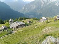 Rifugio Giorgio BertoneBuilt in 1982 by Lorenzino Cosson in memory of his friend Giorgio Bertone
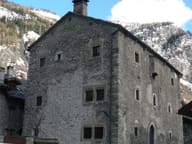 Passerin d'Entrèves Fortified HouseDated to 1351; since 1711 it has belonged to the Passerins, who live there in summer
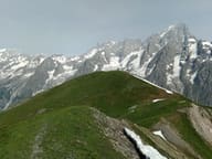 Testa BernardaGrassy summit facing Mont Blanc, the Dente del Gigante and the Grandes Jorasses
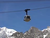 Skyway Monte BiancoCabins that rotate on their own axis up to Punta Helbronner, at 3,466 m
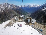 Hangar 2173The steel cables of the old 1947 cable car become a work by Letizia Cariello